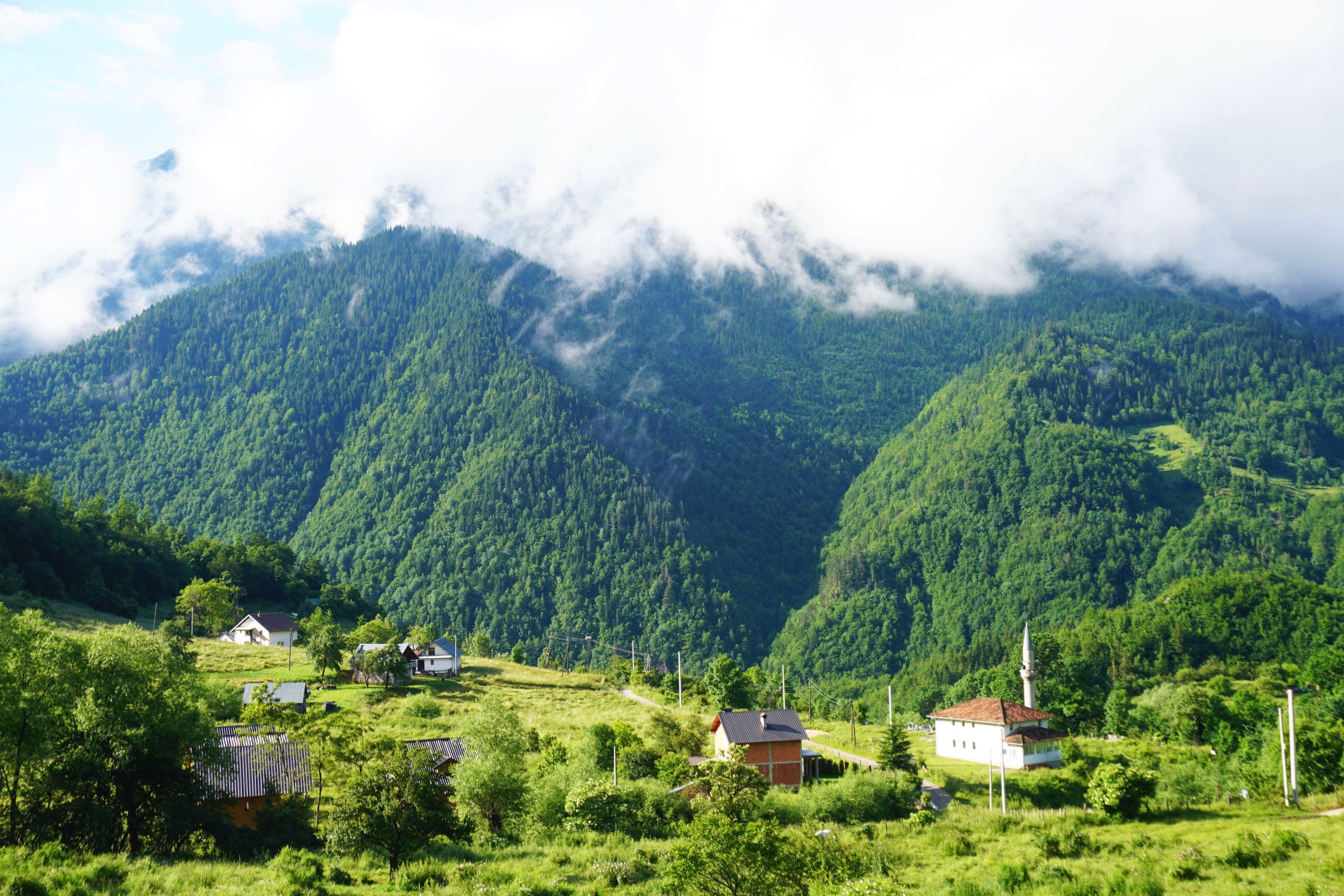
Tongariro Around the Mountain is a 65km 4-6 day tramp in a loop from Whakapapa around Mount Ruapehu. In terms of scenery it ranks up there with the Great Walks, but is tougher by some margin. Much of the tramp is along unformed track, following marker poles up and down some pretty winding terrain. Hard on the ankles and knees but stunning views, nice huts and great sense of satisfaction from completing.
Couldn’t find much online when I looked into doing it so thought I’d plug a gap and write up my Easter 2015 trip…
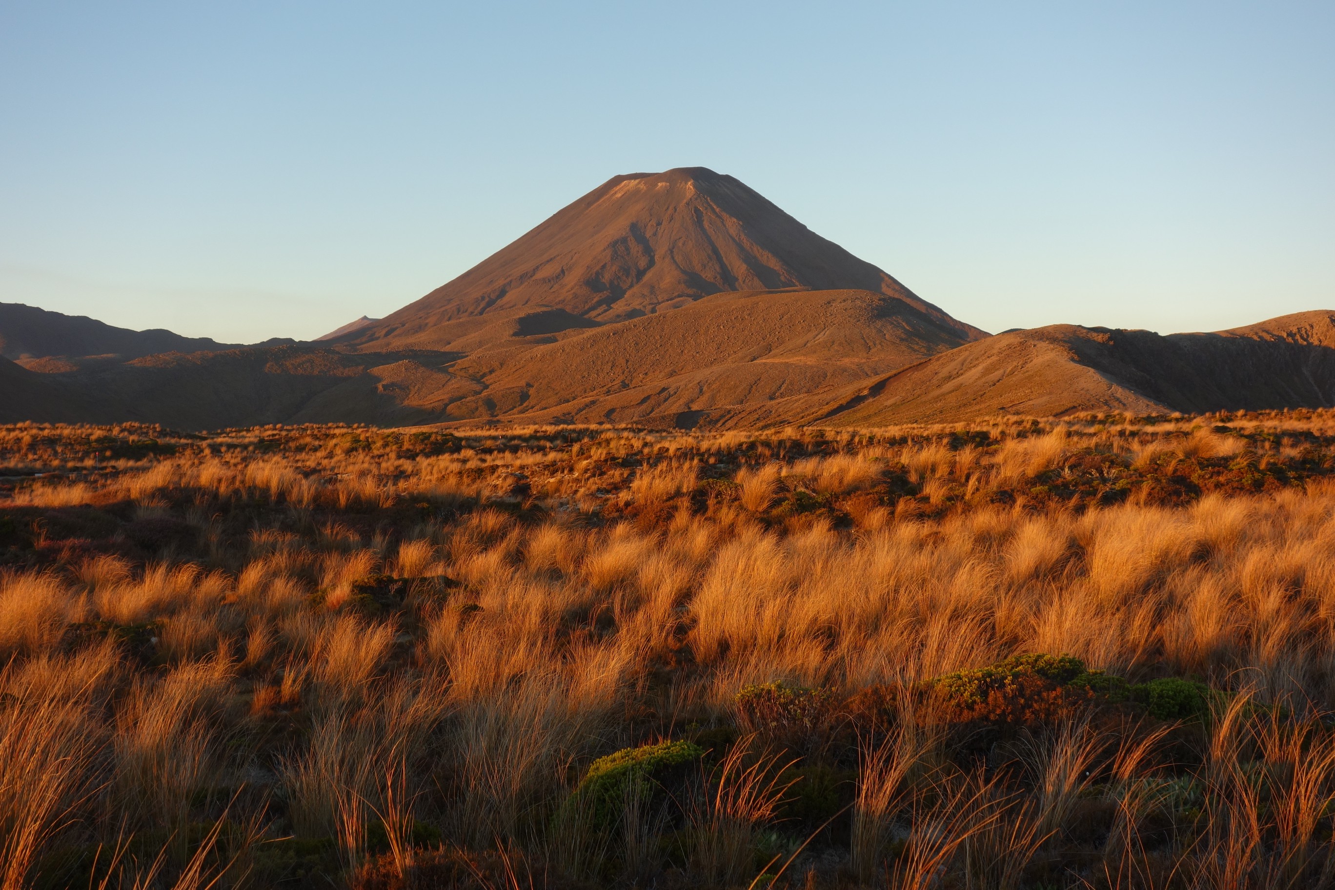
Whakapapa Village to Waihohonu Hut, DOC time 5½ hours, 14.3km
A gentle start across well formed track and through small gullies with views of Mount Tongaririo and Mount Ngauruhoe ahead. The hut is relatively new and well set up, with an enormous kitchen area.


Waihohonu Hut to Rangipo Hut, DOC time 5 hours, 12.5km
Crossing the Rangipo desert does involve quite a lot of walking on sand and more plants than I’d expect to see in a desert (the only one in NZ) but at least you’re unlikely to get rained on. Pretty desolate if atmospheric place which becomes jaw dropping upon reaching the lahar path river valley. This is where volcanic mudflow has wiped out three bridges in the past 40 years, so not somewhere to hang around but definitely take a few photos. Not far from there to reach the Rangipo Hut (altitude 1,556m) which has the most spectacular location of any hut on the track (and most other tracks). Endless vistas made for a great lunch spot. Would have happily stayed there the night if I wasn’t doing most of the walk in two very long days…


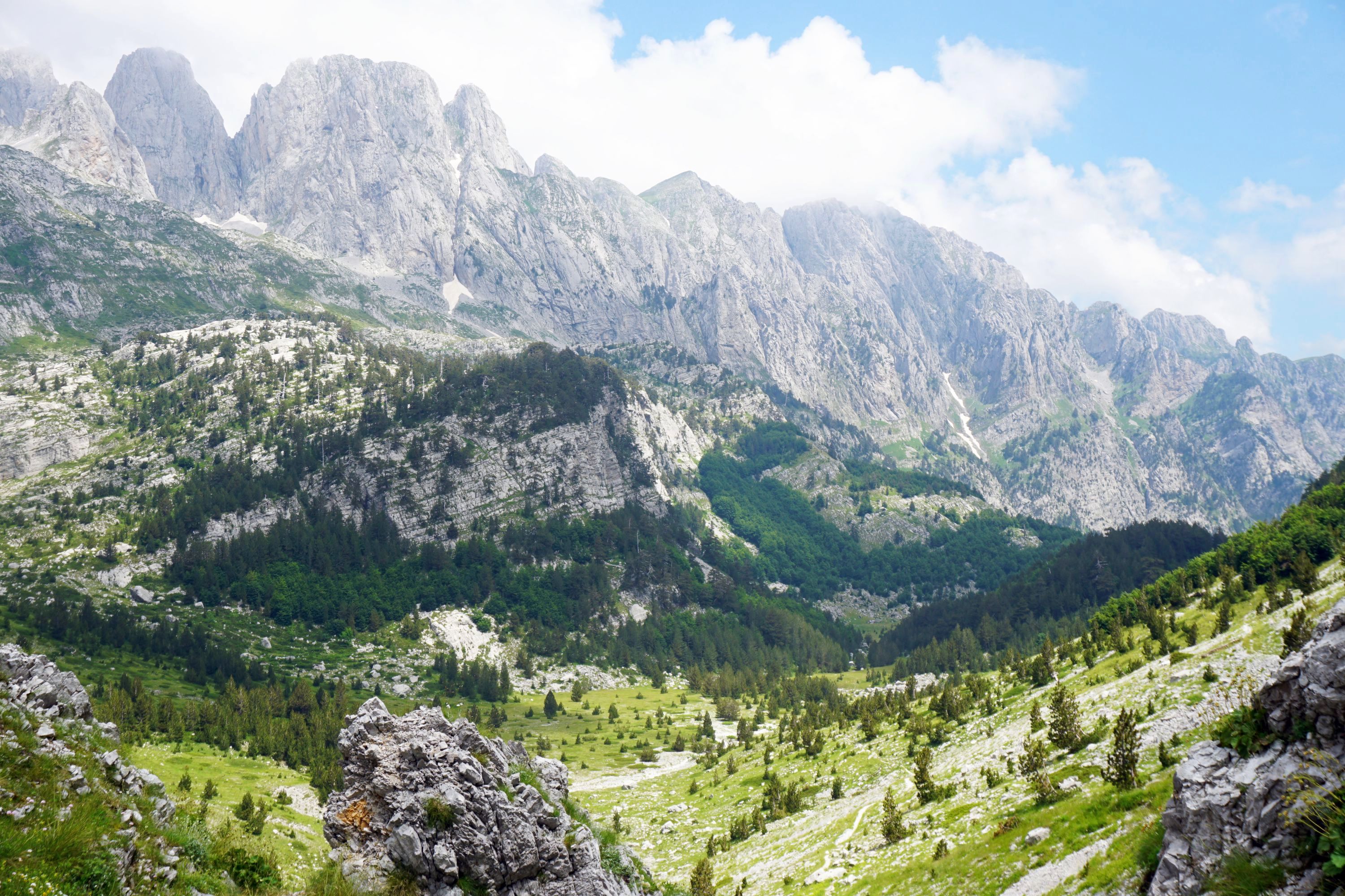
Rangipo Hut to Mangaehuehu Hut, DOC time 5½ hours, 8.5km
Not far from the hut you’ll reach the awesome Waihianoa Gorge, which you’ll then need to carefully make your way down and back up the other side. Pretty slippery rocks which felt like a big deal at the time, but in retrospect was merely a warm up for the leg from Okahune Mountain Road. Further on I thought I was seeing things but it was actually a horizontal rainbow across the horizon, beautiful. Gets pretty boggy toward the end of this section with some boardwalks at interesting / lethal when wet angles. Mangaehuehu Hut (altitude 1,285m) is cosy, I lucked out by being in the four bed bunk room rather than the kitchen / bunk room. In the morning I nearly trod on a couple of guys sleeping under the kitchen bench!


Mangaehuehu Hut to Ohakune Mountain Road, DOC time 3 hours, 8.9km (half way option to Blyth Hut, 1 hour return from track junction)
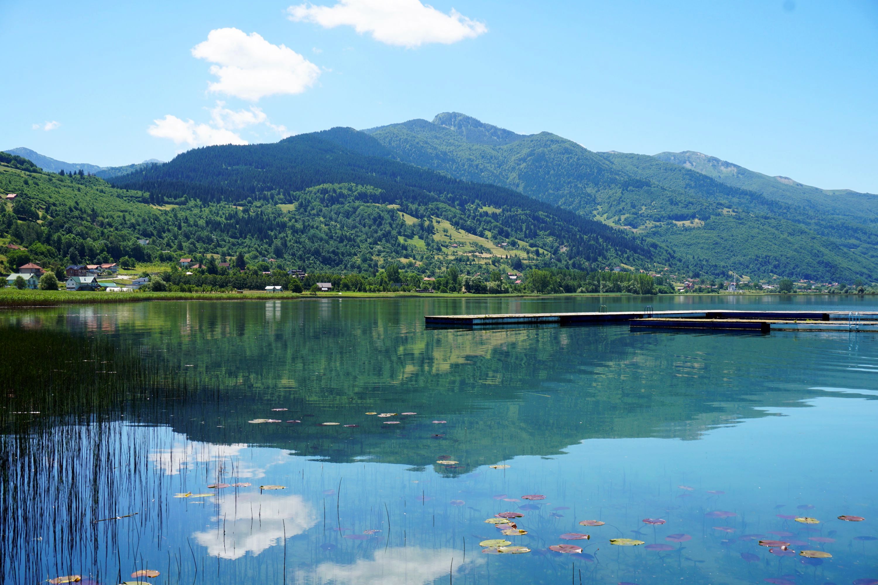
Starts fairly easy through bush, with an option to Blyth Hut which I didn’t take. Others on the track did though and took an unmarked track behind it up to Turoa before heading down Ohakune Mountain Road. I stuck with the main track and was rewarded with some lovely lakes reflecting Mount Ruapehu before reaching Okakune Mountain Road.


Ohakune Mountain Road, no DOC time but takes at least an hour, 3km
Only 3km to travel between track sections but was a hard hour’s walk up a steep road paying careful attention for cars. Bit of a slog enlivened by nice views of Mount Ruapehu ahead.


Ohakune Mountain Road to Mangaturuturu Hut, DOC time 1½ hours, 3km
Had wondered how 3km could take 1½ hours but soon found out. Descending The Cascades was probably the scariest experience I’ve had tramping and amazed that there isn’t a bypass option. Basically it involves making your way very, very carefully down a steep, wet rock face, with fast flowing streams and waterfalls to either side of you. While carrying a 15kg pack. After the near death experience was relieved to have lunch in the characterful Mangaturuturu Hut, though as one of the smallest on the track do may not be the best option to stay at during popular times of the year.


Mangaturuturu Hut to Whakapapaiti Hut, DOC time 5½ hours, 10.3km
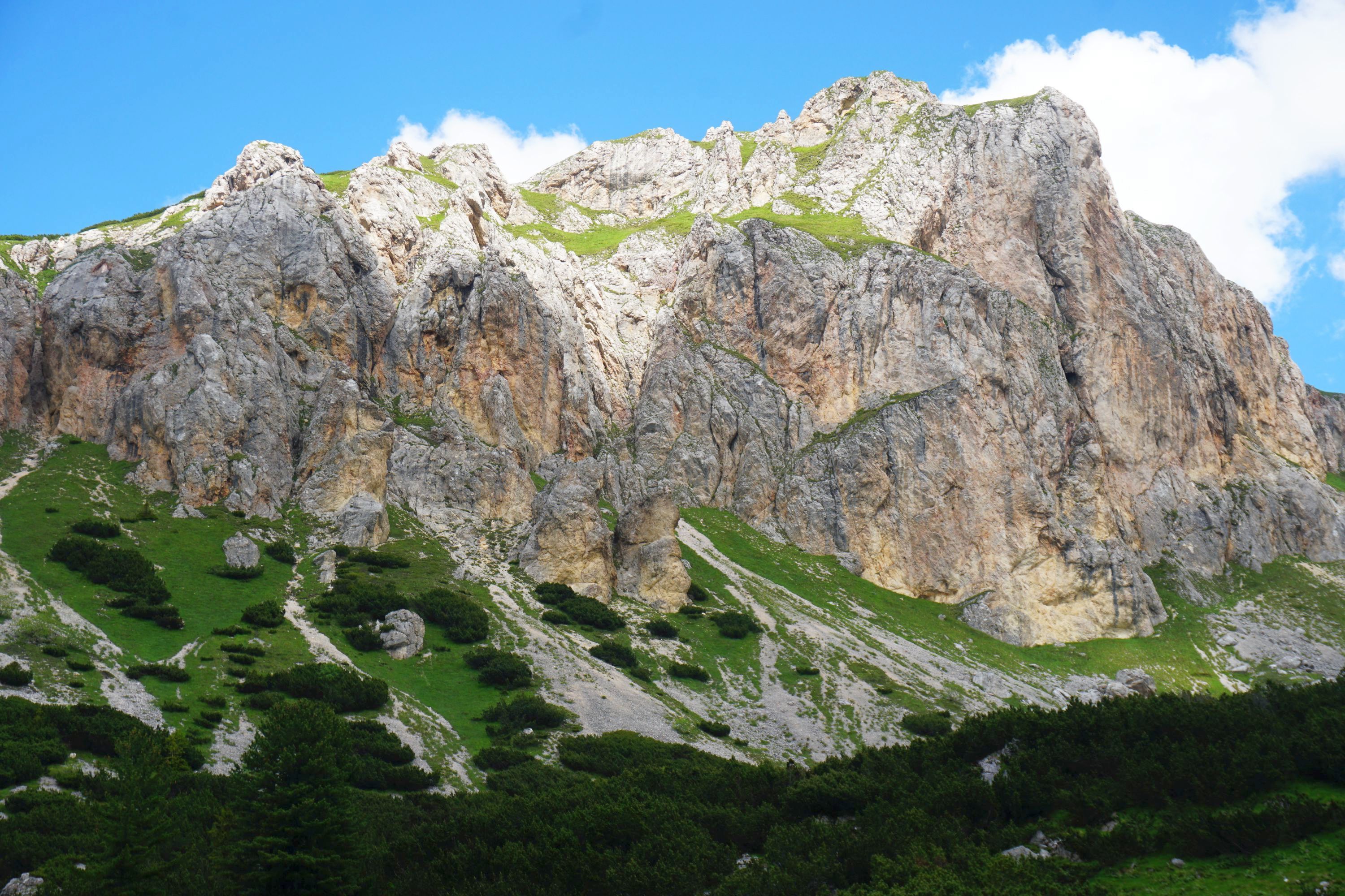
The toughest part of the track with seemingly endless large valleys to descend and ascend. Even after many hours tramping you can still see the Ohakune Mountain Road car park taunting you by being a few km away as the crow flies, but many km as the tramper tramps, having been up and down at least half a dozen major valleys. The rewards are the ever presence Hauhungatahi to your left and Mount Ruapehu to your right (though was in cloud when I did it, helped keep it relatively cool at least). Ever hopeful of seeing the hut over every ridge it was a special moment when it finally came into sight. Half an hour easy downhill walk I thought. Wrong. Was a tough hour heading away from the hut up and over a couple more steep hillsides before finally reaching Whakapapaiti Hut.


Whakapapaiti Hut to Whakapapa Village, DOC time 2½ hours, 8.7 km
Easiest part of the track and was very happy to reach the end of it back to Whakapapa to ditch the pack and have a shower.
Tips
– The track is tough either way round but anticlockwise (the opposite to how I did it) is probably a little easier as you’ll ascend rather than descend The Cascades between Ohakune Mountain Road and Mangaturuturu Hut, and you’ll go down the 3km section of Ohakune Mountain Road
– There are showers at Whakapapa Holiday Park for $5, much needed by the end of the tramp
– The cafe at Chateau Tongariro has a ridiculously good value kids menu (which adults can order and comes in adult sized portions). For $15 you’ll get main, desert and drinks, for example a burger and chips, ice cream sundae and a soft drink
– I didn’t take poles, I’ve never used them and not thought that they would be useful on Great Walks. For this though I can see them being hugely useful over the rough terrain
– I was lucky with the weather, only had a few showers on day two. Given the terrain and number of rocks to clamber up and rivers to cross I’d advise being very careful if bad weather is forecast, taking sufficient food in case you need to change your plans and stay longer in huts
– The Waihohonu Hut is a Great Walk hut (part of the Tongariro Northern Circuit) and needs to be booked (generally well) in advance. The other huts are Serviced Backcountry Huts for which you’ll need to buy $15 tickets from any good outdoor shop. They can’t be booked but there is generally space, worse case you’ll sleep on the floor. I did it at one of the most popular times of the year and the huts were full, but I got a bunk every night
– Waihohonu Hut is the only hut with gas (though matches are required) and toilet paper. The other huts lack both so come prepared!
Leave a Reply to Jeff LynexCancel reply