
One of the least visited islands (except by boaties) in the Hauraki Gulf, Rakino is much like a smaller, far less busy version of Waiheke Island. Both are only 40 minutes by ferry from Auckland’s Ferry Terminal, though there’s only one ferry a day each way to Rakino.


Despite being mostly private land there are enough beaches and patches of public land to fill a day exploring the place, which even in the middle of the summer is mostly devoid of people (if not boats!).

The ferry arrives at edge of the semi-appropriately named Sandy Bay (Woody Bay is sandier), at the southern end of the island. It’s a nice bay, with a grassy bank behind it home to benches, seating and shade, the perfect spot to wait for the ferry back at the end of the day.


Five minutes walk away is Home Bay, a tranquil place for an early lunch before heading up South Pacific Road to explore the island. This is the main road, which has four small side roads leading from it, though there did appear to be relatively a lot of cars on the island, some more mobile than others!


Ocean View Crescent is home to the world’s first solar powered telephone, housed in a cute red hut.


West Bay public walkway is a sliver of track heading down the hillside to the tree filled West Bay, which starts off rocky but soon becomes a lovely stretch of sandy beach.


For the first but certainly not last time of the day I scrambled over rocks around the headland to get to the next bay, Woody Bay, only to discover that the effort, and near getting wet, was unnecessary as there is a short path connecting the two.


This path gave great views over both boat filled bays.


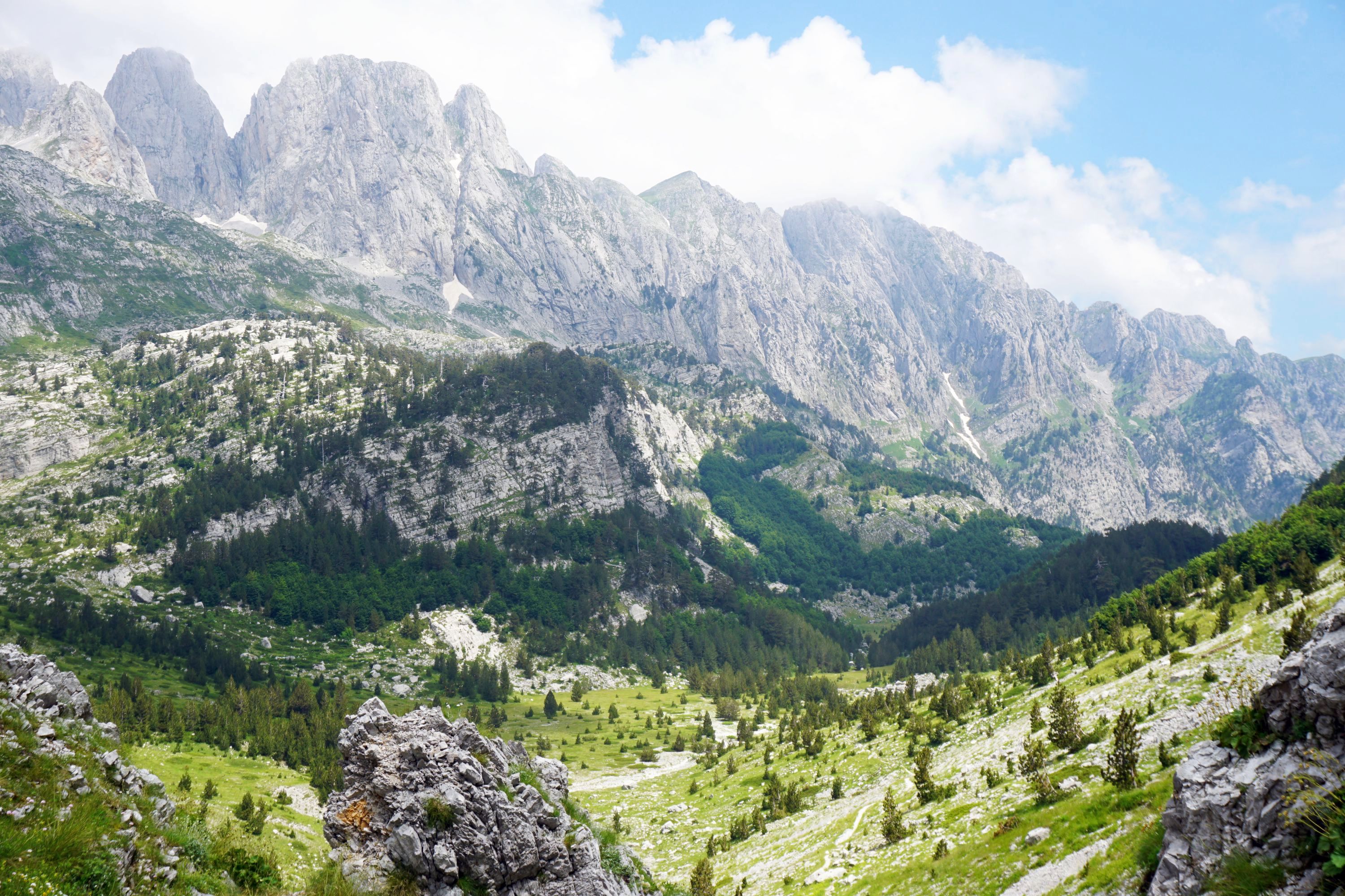
Woody Bay was home to a pretty nifty sand castle / tent, but nothing but rocks over the headland to the next bay, so I headed back inland, enjoying the views of Motatapu and Rangitoto in the distance.


The road took me past characterful traffic signage, a music lover’s house, and an outdoor living room.


The obvious signage led me to Ivan’s Track, with the direct track leading to Maori Garden Bay, and the indirect track leading to multiple dead ends!


Finished walking along to Orange Bay and round to Sandy Bay for a rest before returning to the city.


Leave a Reply to rainforestfruitCancel reply