An enjoyably challenging (~1,400m ascent and descent) full day loop walk along the Mt McIntosh & Mt Judah Tracks, in the hills behind Glenorchy (an hour north of Queenstown), offering wonderful views and historic sights.
I walked a clockwise loop up Mt McIntosh Track, and connected across to come down the Mt Judah Track. If it hasn’t or isn’t raining I’d recommend this direction as Mt McIntosh Track is steep and slippery, relatively easier to climb up than to come down. The Mt Judah Track is super easy and at a more gentle gradient, allowing you to enjoy the views as you come down. Connecting between the tracks does require crossing the Buckler Burn river though. This can become impassable if the water levels are high, and it’d be a very long walk to return on the Mt McIntosh Track…
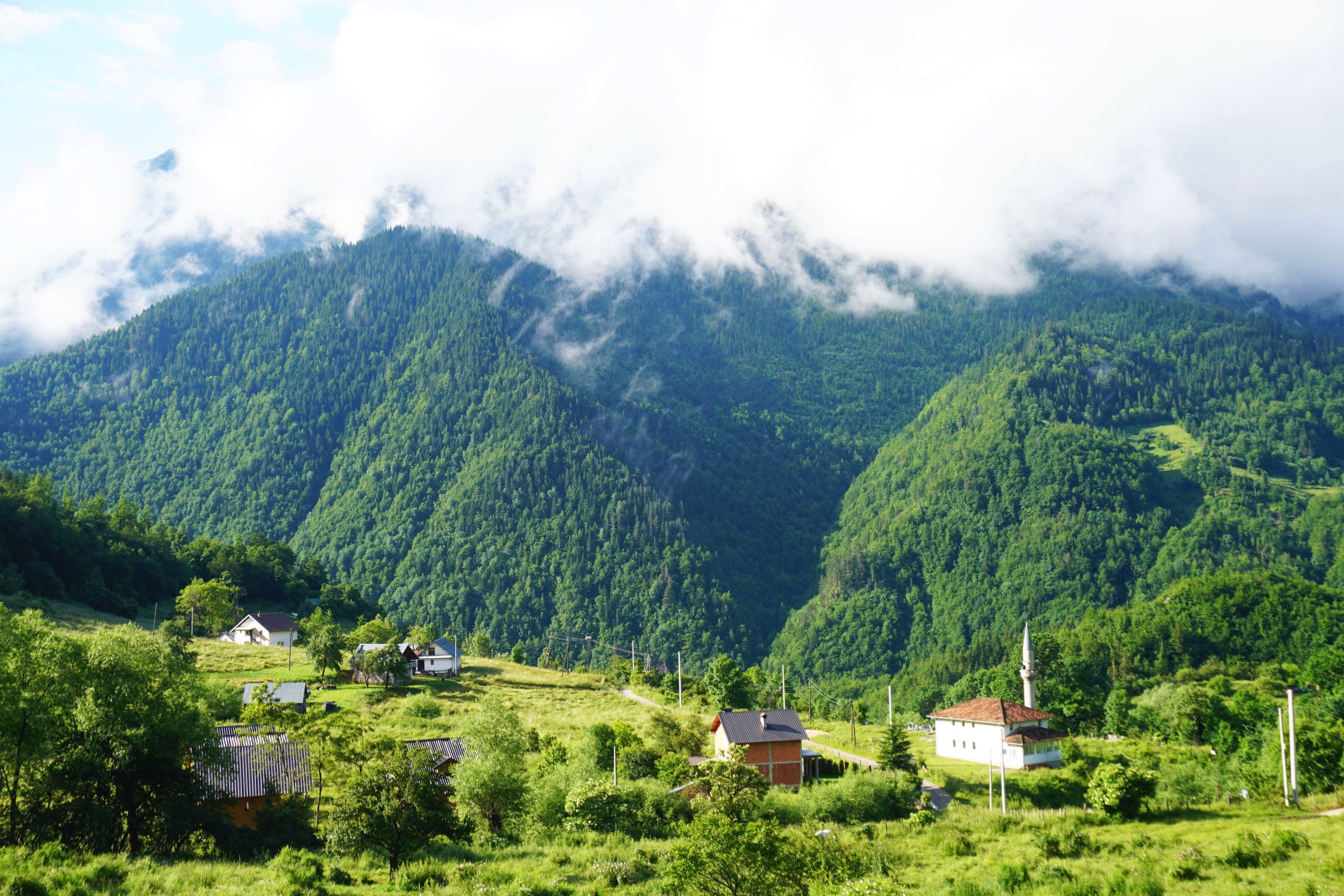
From the Mount Judah car park I headed back down the road a few hundred metres to find the barely marked start / end of the Mt McIntosh Track, a little way beyond the road bridge over Buckler Burn.
The track was a little overgrown and had some fallen trees to navigate around but the scenery made up for it, despite the grey start to the day.


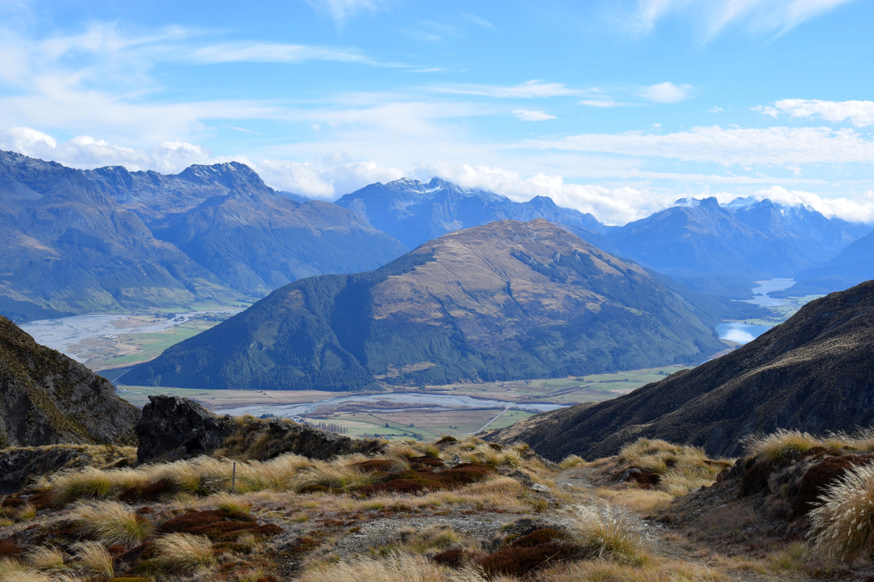
As I gained altitude Lake Wakatipu emerged behind me, and the Dart and Rees Rivers flowing into it. Glenorchy is at the head of the lake by mouth of the Rees River.


The track starts with a hill, then becomes more gradual, before ramping up to a pretty steep climb along a narrow track following the border fence line. It’d be hard to get lost but careful foot placement is required to avoid slipping.


To my left was the distinctive Mount Earnslaw, its height confirmed by the amount of snow on top of it. The wonderful Rees-Dart Track, which I walked last year, basically does a circuit of the mountain.


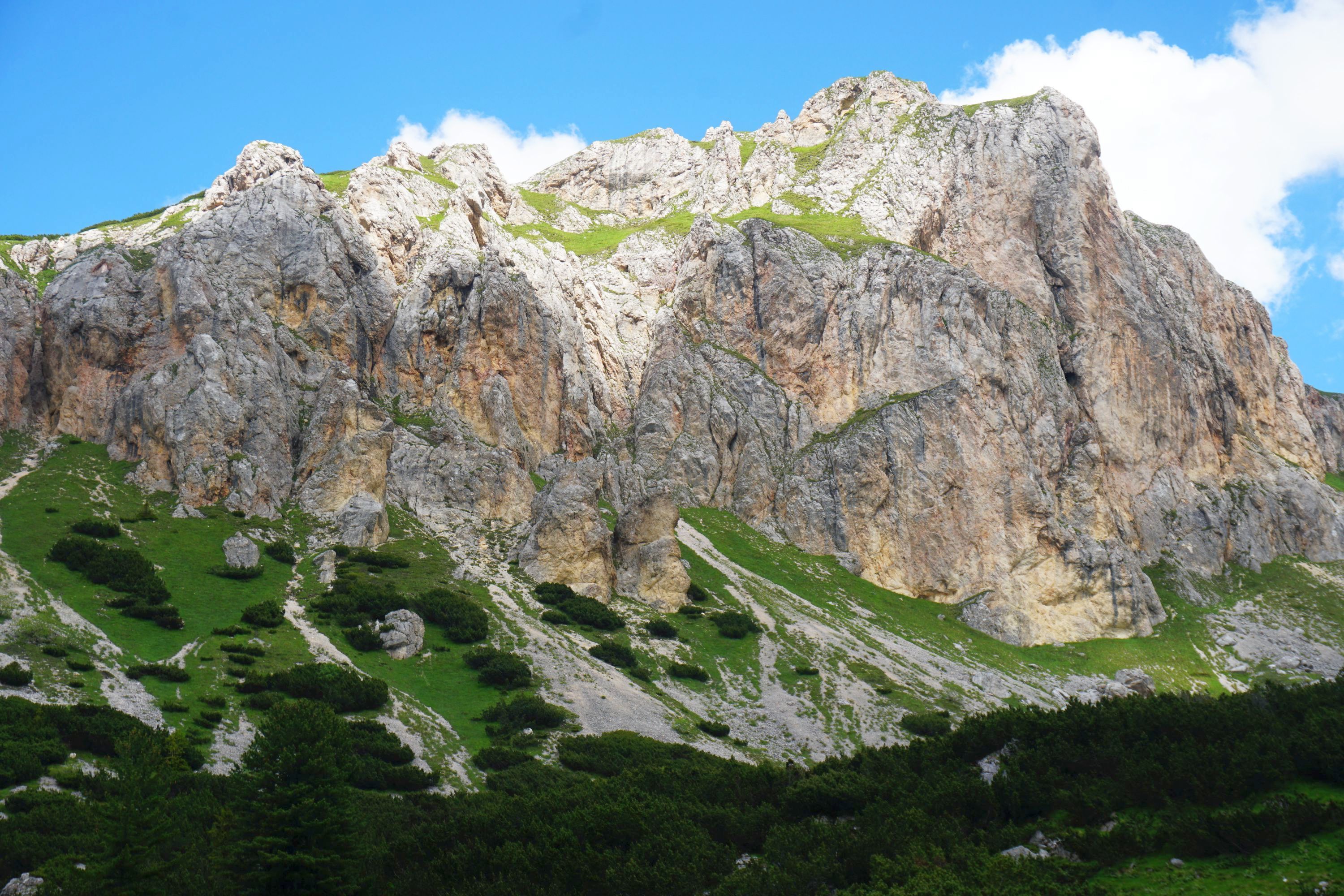
Reaching the top of a ridge offered great views of a steep tussock landscape, brilliant yellow when the sun shone.


Mt McIntosh was easily identifiable by the scars of tracks running up it, a legacy of when motorised vehicles replaced horses to remove the scheelite ore mined on the mountain.

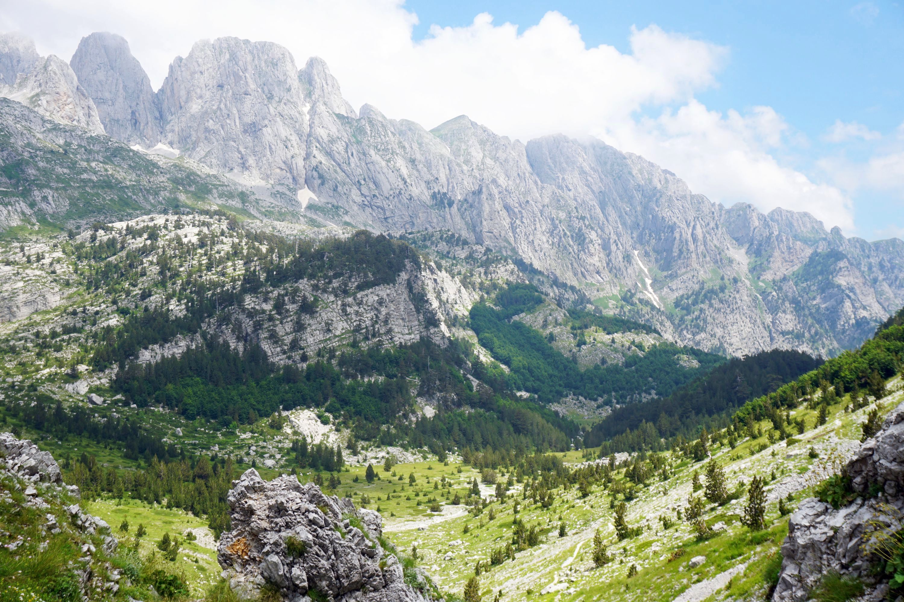
I descended down to Long Gully Saddle, then up another couple of hundred metres to reach one of the best lookout spots of the day.


Behind which were the historic McIntosh Huts, the first one locked and empty…


The second was open though, and had a lovely porch where I ate my lunch, and a cosy if rather random interior.


After lunch it was mostly downhill along much a easier track, first to McIntyre Hut, basic but with some personal touches like the Christmas decoration, door handle and skull!


A little further along the track I had the first of three sightings of groups of tahr, which were introduced to New Zealand from the Himalaya and now need culling to manage their numbers. Seeing them running head first down the steep hillside was impressive…


Further on I crossed Buckler Burn, which even on a dry day was pretty fast flowing. I can see why it could become impassable, but today it was fine to cross with care in bare (and cold!) feet.


There was one final push uphill past some relics of the mining days before reaching the junction of the wide and easy Mt Judah Track. Another time I’ll just walk up this track to reach the numerous historic huts further up, but today I was keen to get down to the Glenorchy Lagoon Walkway while the sun was still shining.


Along the track is informative signage explaining the history of the area.


Smithy Hut had some tracks to nowhere…


My final stop before returning to Mount Judah car park was the reconstructed Glenorchy Scheelite Battery and another heritage hut, surrounded by numerous bits of equipment.


Leave a Reply