The Motatapu Track is a hard but rewarding 34km tramp between Wanaka and Macetown (near Arrowtown), which offers stunning views, but for a heavy physical price with almost no flat sections, just relentless hills (as the profile below shows). It’s technically relatively straightforward to walk, but will test your knees and ankles, particularly on the descents.

Getting to the start of the track is easy, it’s a 12km $50 taxi ride from Wanaka to the Fern Burn Car Park. Had a couple of dodgy initial moments though, firstly trying to avoid getting wet boots within two minutes of starting, carefully navigating rocks and branches to cross this stretch.

I then came across a rather large herd of cows, in a rather small area. They’re not my favourite animal to come across when walking, particularly when packed together blocking the track, and liable to bolt. Moving slowly and carefully I got through, thankfully without spooking them.

Things improved in the Stack Conservation Area, following the river through pleasant forest, though I’m unconvinced the braces below are going to hold the tree up.


The track then started to head up along the side of the valley, and far sooner than expected (not a common occurrence when tramping) I arrived at Fern Burn Hut. Less than ten years old, this hut made a lovely spot for an early lunch, and I had the place to myself. I came across five people walking the other way before reaching the hut, and didn’t see anyone for the next two days, quite amazing given the good weather and it being a weekend.


The intentions book made interesting reading as usual, with at least three quarters of the entries from international visitors, mainly Europeans and North Americans. Also about half the entries were from people walking the Te Araroa trail (which the Motatapu Track is part of) the length, or part of the length, of New Zealand. Not something that really appeals to me, I’d rather cherry pick the best bits as I’ve been doing, but I can understand the attraction of walking for 3-6 months.
Also saw that someone had brought a 14 month old with them and spent the night at the hut. You’re never too young to start tramping!
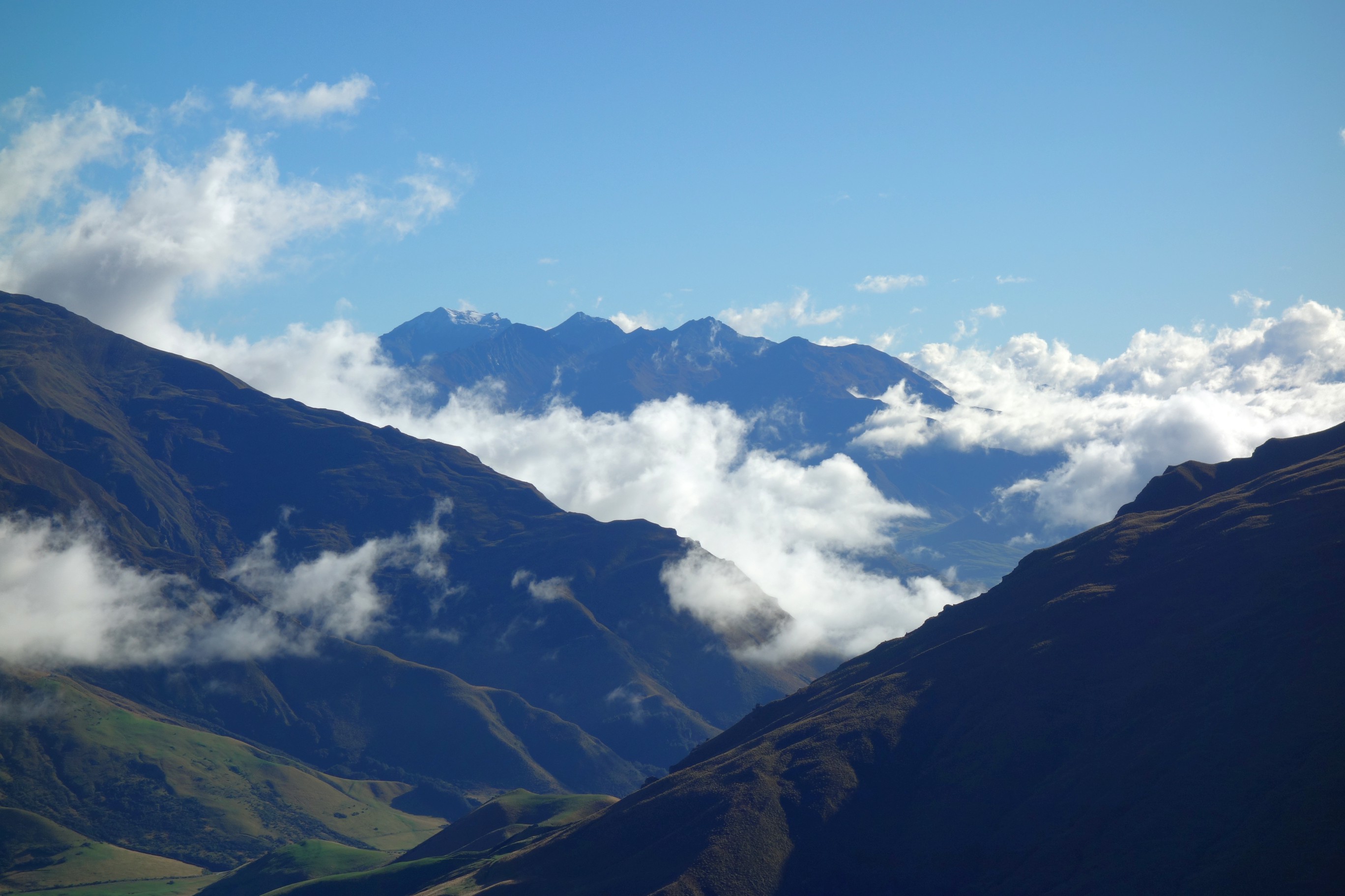
The track to this point had just been a warm up for what was to come, both in terms of effort and scenery. From the hut the track climbed relentlessly, and I was feeling it after not having walked with an overnight pack for four months. The views behind me were increasingly stunning though, particularly when Lake Wanaka unexpectedly appeared.


The views peaked at the 1,275m Jack Hall’s Saddle, with a beautiful panorama.


From here it got tougher with a thigh and ankle destroying long descent down the ridgeline, to cross over a stream, back up another ridge, and down the other side to reach Highland Creek Hut. Thankfully I arrived just as it started raining heavily, which continued almost non-stop for the rest of the day and evening.

I had the hut to myself for the night, which is both incredibly peaceful and quite scary. It was less the thought of being joined, and more the surprise of the peace being disturbed, which made me anxiously look out across the track for figures in the distance. It would have been grim, and quite dangerous, if anyone had been out there, as there is literally no shelter from the elements on the track, this is definitely one to do in decent weather.

It was also quite cold, as there is no heating in any of the huts on the track so bring layers. Arriving at half two in the afternoon I had a long time listening to the rain drum on the hut roof, and enjoying the solitude. There is something quite special about being along in the wilderness, such rare feeling living in a city. There’s also something quite spooky to it turning pitch black with only the light of my iPad illuminating the empty hut.

The night was varied, from total darkness and noises outside from possums on the deck, to later an illuminated sky full of stars.
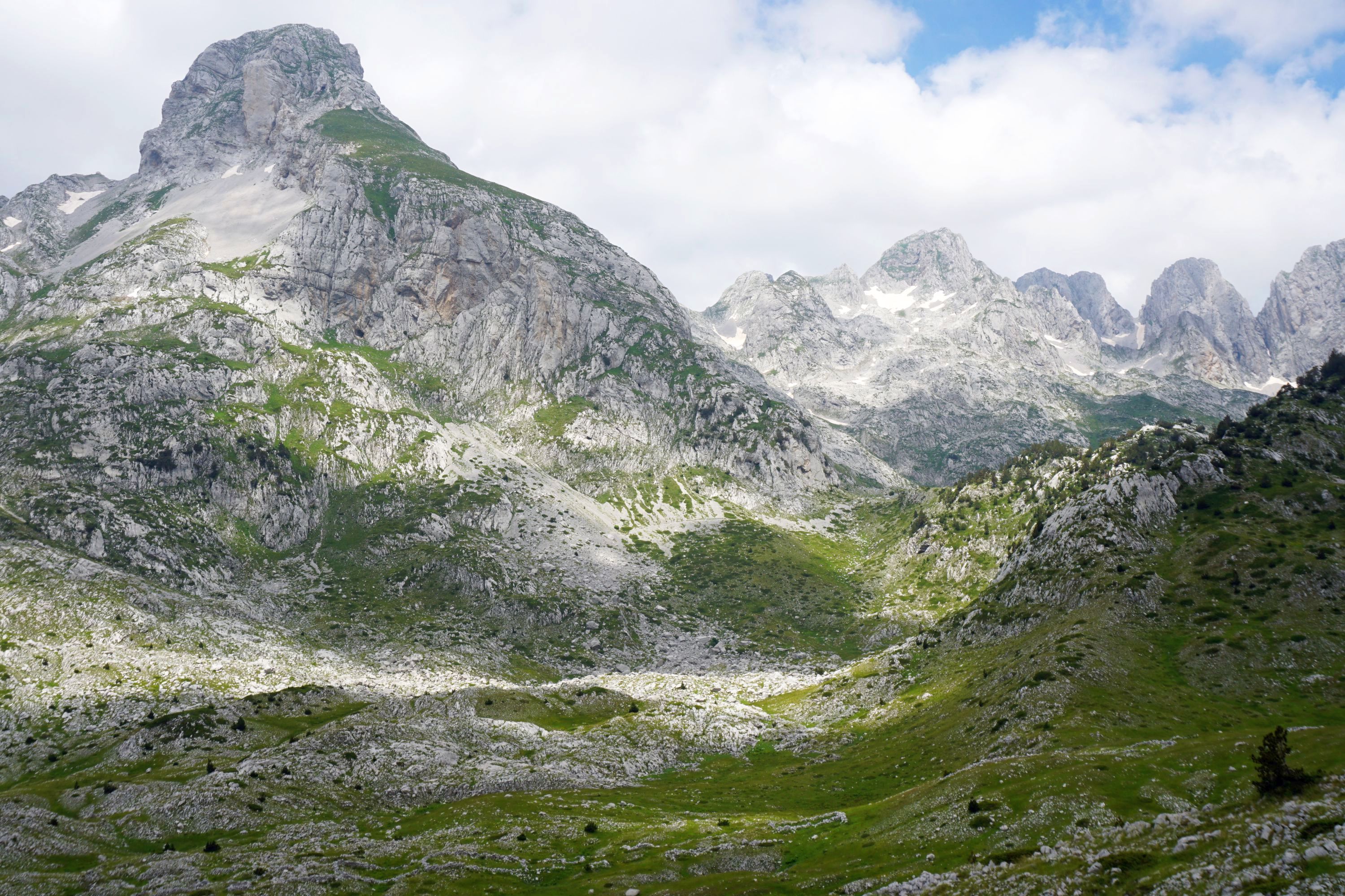
Day two was one of the hardest days I’ve had yet tramping, finishing the track by covering 21km in just under nine hours, which was 2-5 hours faster than the DOC times. There’s a reason this is usually a 3-4 day walk, doing it in two was somewhat masochist.

More wonderful tussock landscape awaited me today, heading up and down the ridge lines, with long shadows from the rising sun.


The weather was pretty much perfect, clear and sunny, but cool and some wind to prevent overheating on the uphills.


About three and half hours in Lake Wanaka unexpectedly reappeared again behind me, perfectly still and glassy in the distance. Walking the other way would have been better for the views, though the sun would be in-front. The views behind me gave me a good excuse to stop and enjoy them while giving my muscles a brief rest.


The Motatapu Station then opened up below, and soon I could see Roses Hut in the distance, though it took another half an hour of painful descent to finally reach it.


The three huts on the track are near identical, so the inside was familiar and made for another great lunch spot.


I could have happily stayed there but needed to keep moving, which unfortunately (other than for the views) involved a near 600m ascent to the 1,270m Roses Saddle.


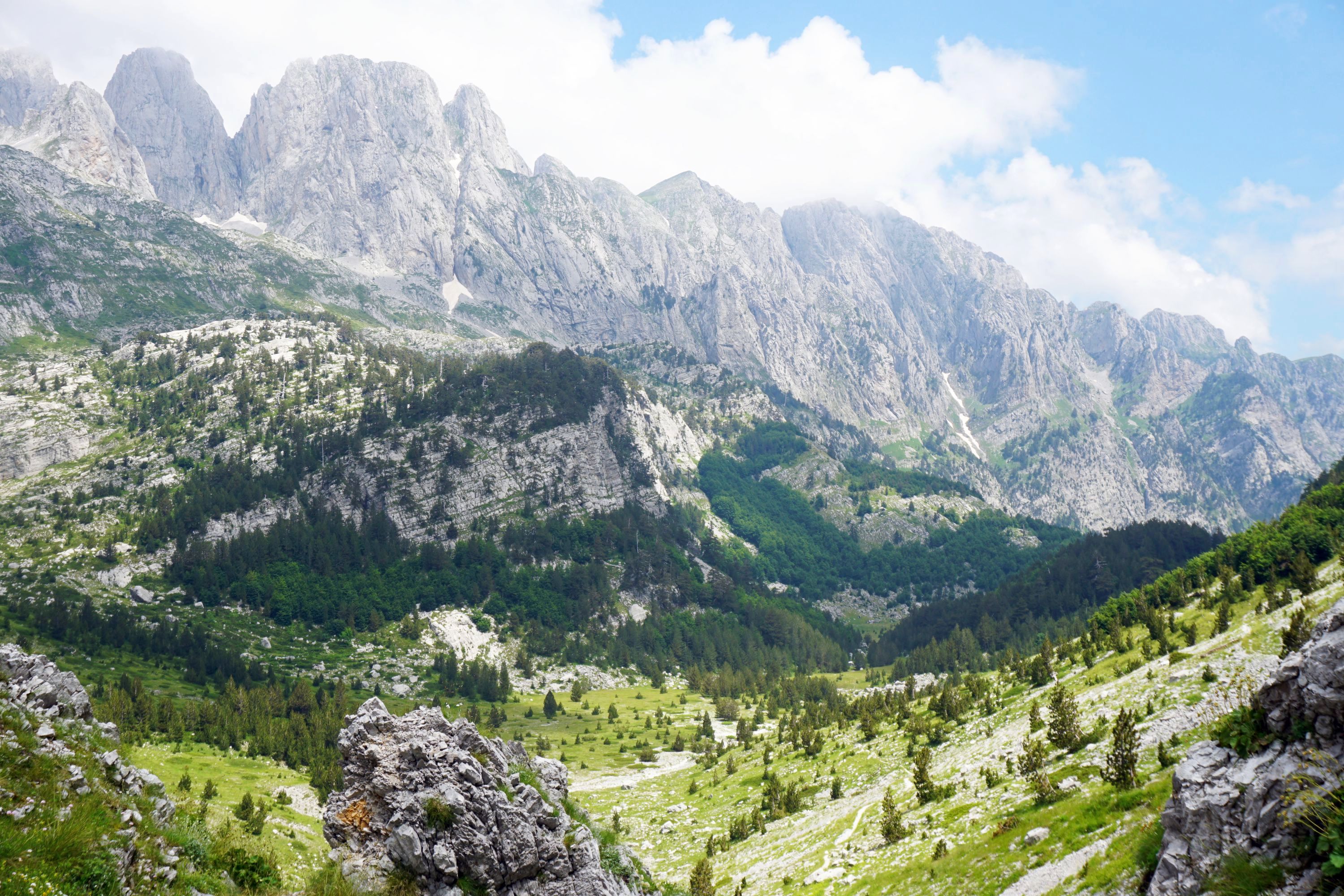
From there I thought I was on the home stretch, but it wasn’t to be, with some of the trickiest walking of the whole track in the final section running above the Arrow River. The track was often steep and overgrown with thorns.


I realised too late that I’d taken the high route, when given the river was at normal levels I could have gone along by the river which would have been faster and easier. It probably would have resulted in wet boots though, and wouldn’t have had the views I enjoyed, as I caught the final rays of sunshine for the day.


Macetown was finally in sight when I saw the autumn leaves, and I reached the empty camping area in time to set up my tent before it got dark. This was my first experience of camping along in the wilderness, always done it with others before, and oddly I found it less spooky than staying in the hut alone, fewer random noises. I did have the ideal first time, with no wind, was dry, and no bugs, at least until I put my shorts on in the morning, my legs clearly being attractive to sandflies!


In the morning I set off for Arrowtown, to catch a bus to Queenstown, and flight back to Auckland. This involved yet another strenuous walk, the Big Hill Track, but I’ll save that for another post.

Leave a Reply to jontycraneCancel reply