Days eleven to twelve of the Ladakh Sky Trail GHT, a three-week hiking adventure in the Indian Himalaya unique to The Mountain Company. These were some of the longest and hardest, but most scenic days of the whole hike, including visiting possibly the most remote settlement in Ladakh.
At Ningri Doksa (4,370m) after another cold start the temperature felt like it instantly went up 10°C once sunlight hit the campsite around half past seven.

After a bit of bush bashing by the river, we headed up to the near 5,000m Rothang La. This was a tough 600m climb that felt endless, and increasingly difficult as the air noticeably thinned with altitude.


Partway up, a yak herder was bringing four yak down, which felt a little hazardous until they passed by safely.

It was a relief to reach the pass and enjoy the views and a decent rest.


We then descended basically the same altitude, along a relatively steep and sketchy trail, though thankfully without exposure.


There were a number of yak herder huts along the way…


…and a herd of baby yaks.

After not seeing anything significant or man-made since Zangla, these stupas were a welcome sight.


We camped out in the pastures of Shade Village. This is possibly the most remote settlement in Ladakh. It is at least a three-day hike from any road and is used mainly during the summer months. Around 30–40 people in ten families live here off yaks, some agriculture, and a few hikers.


In the afternoon we took a wander around the village.


It was a long afternoon so I had time to do another sketch.

As we finished dinner there was an unexpected sight coming down the valley — a group of four independent German hikers. There was a bit of commotion later on, with some confusion over them not paying the local villagers for use of campsites for the past three days (where Shade Village has grazing rights), which was about US$20…
The next day we walked back through the village. The government has provided a satellite internet connection at one of the houses, which was free to use. Messaging apps just about worked, but not email or anything else. After nearly a week offline it was good to let home know that things were fine on the hike.


This was one of the longest and most exhausting days on the hike. The first couple of hours were bliss, with easy walking, blue skies and beautiful valley scenery.


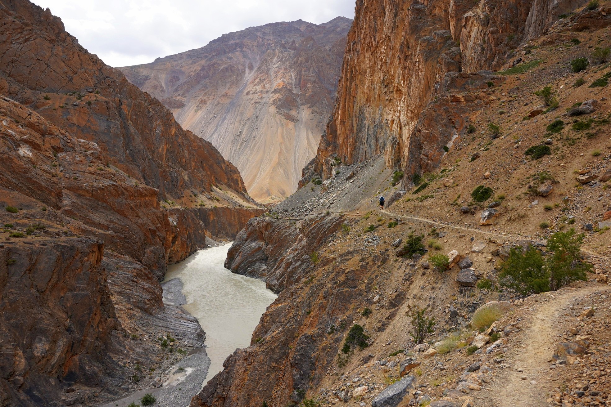
There were impressive canyon views.


We came across this photogenic settlement, which was abandoned four to five years ago due to its water supply drying up. They tried without success to pipe water in and ended up relocating closer to a road.


From here we dropped down to the Niri Chu and crossed it using one of the most unusual bridges I’ve come across. It was made of water pipes, wire, and yak fur!

From here it was four hours of physically, mentally, and emotionally exhausting hiking. The scenery was incredible but the trail was very narrow, either rocky or sandy, and there was huge exposure risk. As someone who doesn’t particularly like heights, and doesn’t feel comfortable with exposure, this was a bit of a nightmare.


It was interesting to see the confluence of the Niri Chu and Tsarap Chu — one blue, one silty.

There were a few Buddhist sites along the way.


and a herd of horses coming the other way…


It was a great relief to finally reach camp at Yatak, though there would be more stressful hiking tomorrow.


Leave a Reply