An incredible 85km grade 2/3 bike trail through the native bush of Pureora Forest Park, the Timber Trail is one of the best multi-day rides in the country. It is filled with history, amazing scenery, and has the infrastructure to make the logistics of riding in one of the more remote parts of the country (about half way between Auckland and Wellington) straightforward.
Some people cycle it in one day on a mountain bike, but I took the less strenuous option of riding it over 2 days on an eBike. I’m more of a road cyclist so grade 2/3 was perfect, offering a enjoyable challenge rather than a terrifying ordeal. Local businesses have catered for the increasing demand to ride the trail, offering shuttles, bike hire and accommodation. I took the most popular option of parking my car at Ongarue and taking a shuttle to the other end at Pureora. From here I cycled back to Ongarue, staying at the Timber Trail Lodge half way.

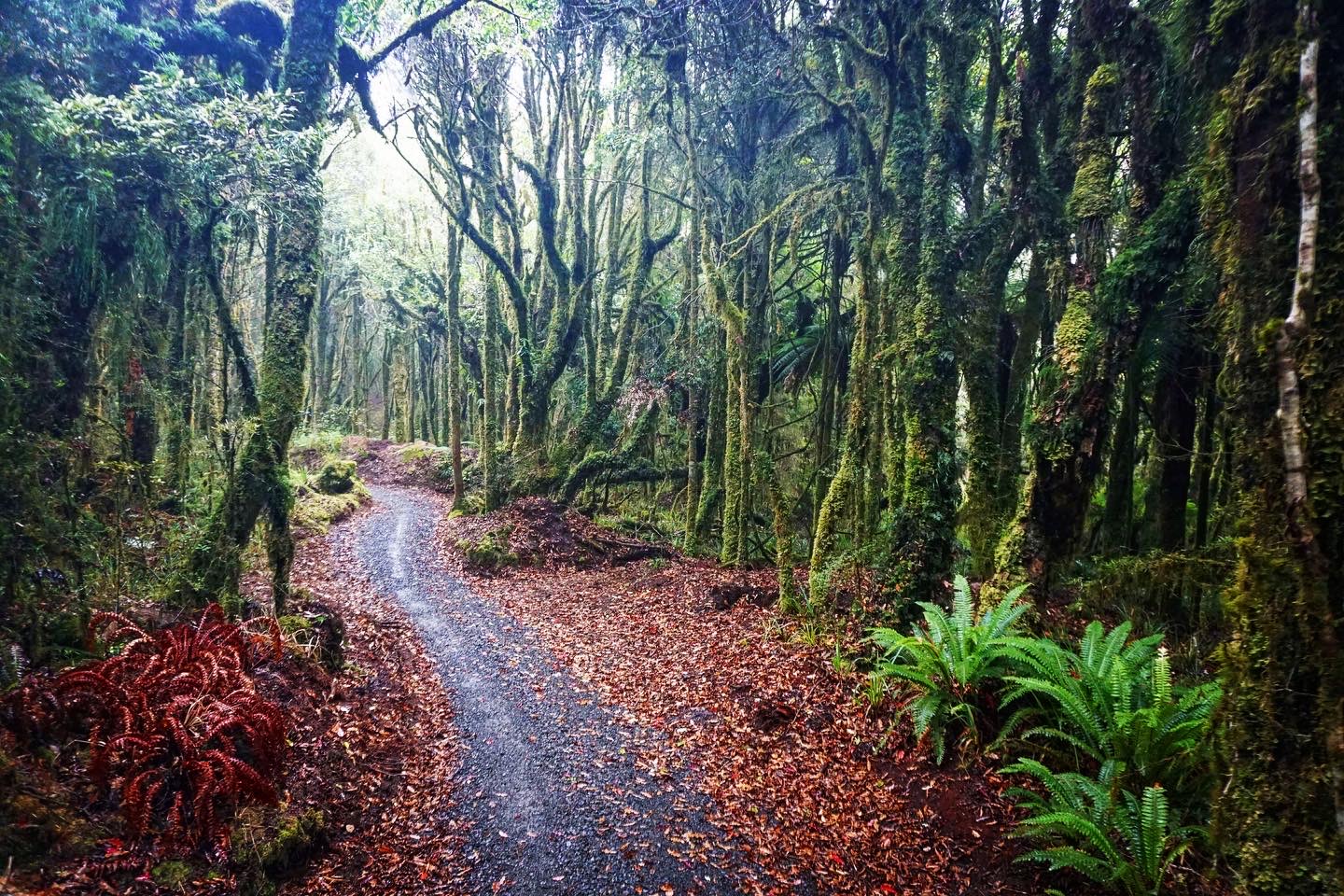
Pureora Forest Park covers 290sqm and is one of the largest areas of intact native bush in the North Island, saved by protesters in the 1970s. I’ve walked through a lot of bush throughout New Zealand and this was easily one of the finest, a hugely atmospheric experience. I almost wished I was walking the trail to better appreciate the scenery, but large parts of it would be less pleasant walking, with bikers coming fast in both directions, and long stretches of old forestry roads.


It wasn’t far before the first historic relic, a Crawler Tractor.


The trail is super well signed with frequent blue and orange markers making it almost impossible to get lost.


I just loved this bush.


The contrast is clear when the trail passes through areas that were felled, what a loss.


The trail is varied, joining old logging roads at times which make for fast travel.

All along the track are informative boards, though sometimes they require slamming on the breaks to stop and read them.


There are a number of shelters, this one was the ideal spot for an early lunch while waiting for the light rain to lift.

There are also toilet facilities along the way, and the 1,165m summit of Mt Pureora can be walked to from here but the cloudy conditions didn’t suggest that I’d be able to see anything, so I gave it a miss. This is one of a number of marked areas of the trail where is there mobile phone reception. A Personal Locator Beacon is recommended as there is no reception for most of the trail, and accidents are definitely possible.


The highest point of the trail, 971m above sea level, is marked with a small sign, and close by is apparently a view of Lake Taupo, though I couldn’t see anything other than cloud.


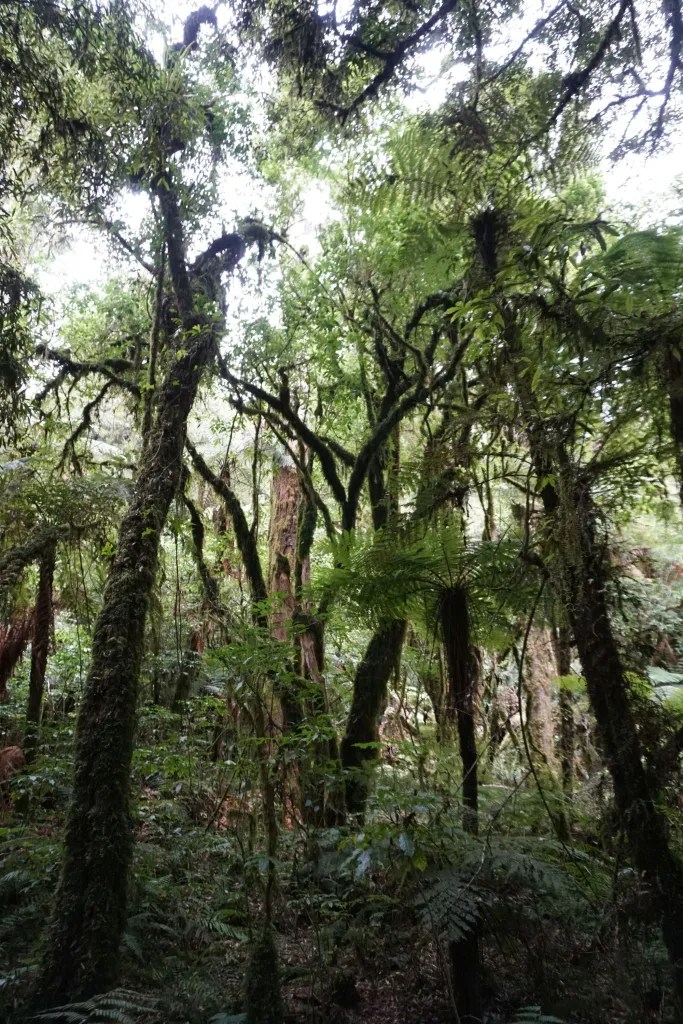
This was one of the most atmospheric section of the trail, with gorgeous cloud forest, though from here it was downhill for the rest of the day so I was pretty focused on trying to not hit it.


Bog Inn Creek was the first of the epic suspension bridges built for the trail, incredible pieces of infrastructure in a remote area.


From here it was fast travelling along old forestry roads.


This totara stump was worth stopping for, used as a sleep out by forest workers after one of them brought his wife and took up all the space in the nearby hut.


There was some more fabulous bush, with huge tree ferns.


I finished the day at the wonderful Timber Trail Lodge, built in 2017, with 20 rooms sleeping up to 45 people. It was total luxury having an en-suite bathroom and yummy food compared with the usual backcountry experience of a hut or tent and dehydrated food.


Leave a Reply