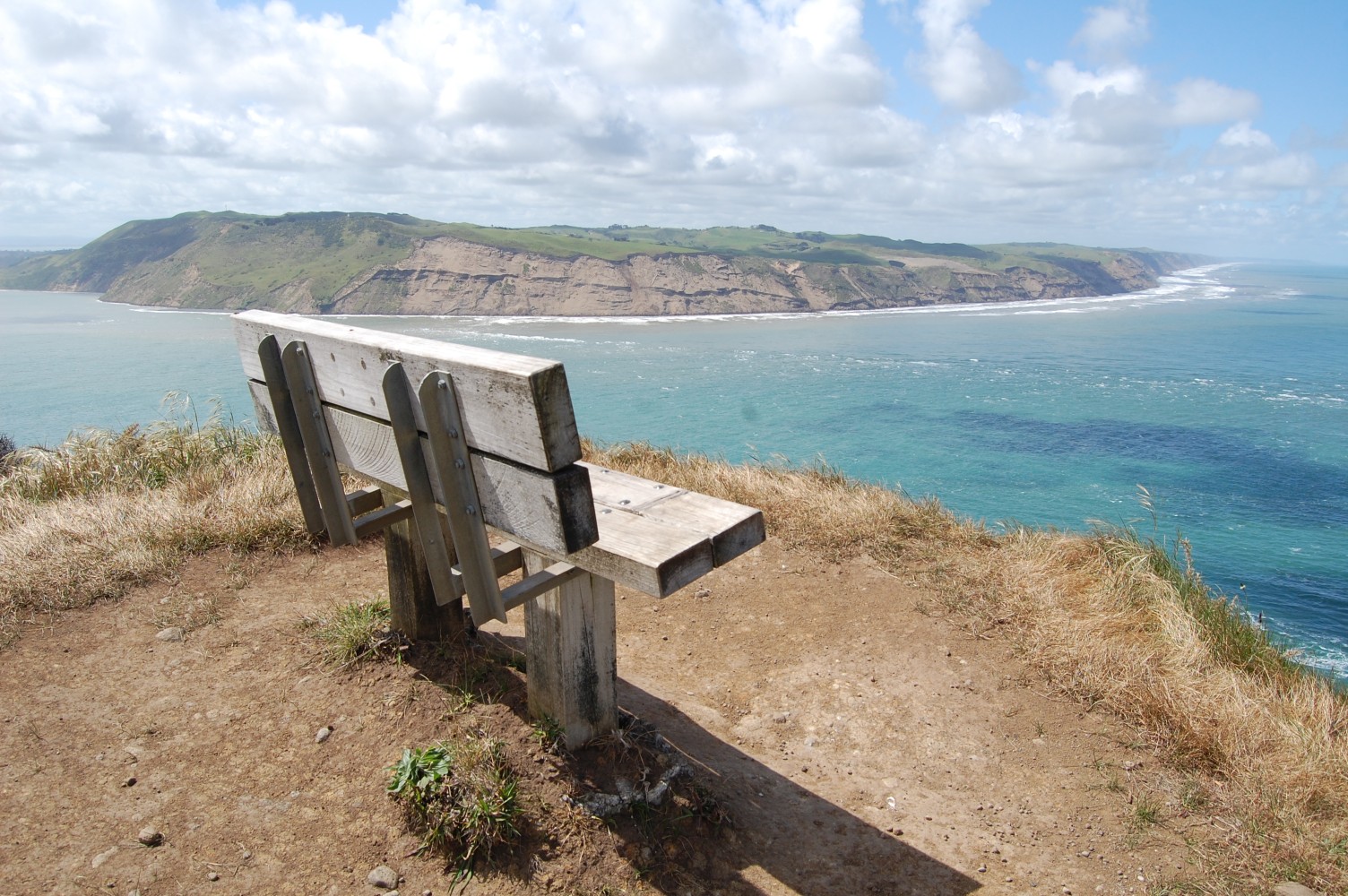
I love the whole of the Auckland West Coast but Whatipu is a particularly special place, at the remote southern tip of the Waitakere Ranges, across from the Manukau Heads. Home to the largest black volcanic sand beach in the area (which is saying something given the size of Piha, Karekare and the other beaches). Only an hour’s drive from home, though the last twenty minutes is along an unpaved road, it’s a great place to escape for the day.

I did a pretty intense five hour 20km loop from Whatipu. Omanawanui Track – Signal House Track – Puriri Ridge Track – Donald McLean Track – Mt Donald McLean – Karamatura Forks – Orange Peel Corner – Walker Ridge Track – Gibbons Track with side trip to Whatipu Caves.

One of the best walks I’ve done in the Waitakere’s. Highlights were the entirety of the tough but rewarding Omanawanui Track, views from Mt Donald McLean, and the side trip out to the sizeable Whatipu Caves.


There are more great tracks further north along the West Coast around Karekare and Piha.
Useful links
The three best resources I’ve found for planning tramps around the Waitakere Ranges are:
– Topomaps, free, pretty detailed maps including nearly all the tracks
– Auckland Hiking Group on MeetUp, their archives have trips that include every track in the ranges
– Fathmandu, a comprehensive list of all the tracks with details


Leave a Reply