An enjoyable half day hike, the Lewis Pass Tops Route offers great views of one of the three main passes over the Southern Alps (the other two are Arthur’s Pass and Haast Pass).
It isn’t particularly well marked, but is accessed from the St James Walkway car park at Lewis Pass. Here there is an attractive tarn, a toilet, a water tank, and some nice scenery…


Crossing over SH7 the track sign was nearly hidden from the road, and lead through classic New Zealand bush.


This was a great example of beautiful moss filled beech forest, a delight to walk through.


The track is pretty straightforward up to this well located bench with a view.

Beyond here tramping gear and skills are recommended, as it gets steeper, with even more tree roots, and is a bit overgrown in places. There’s a reason it’s called a route, rather than a track, though it is generally easy to follow.

I loved these lichen covered trees.


The track climbs hundreds of metres through the bush, which changes noticeably as you climb.

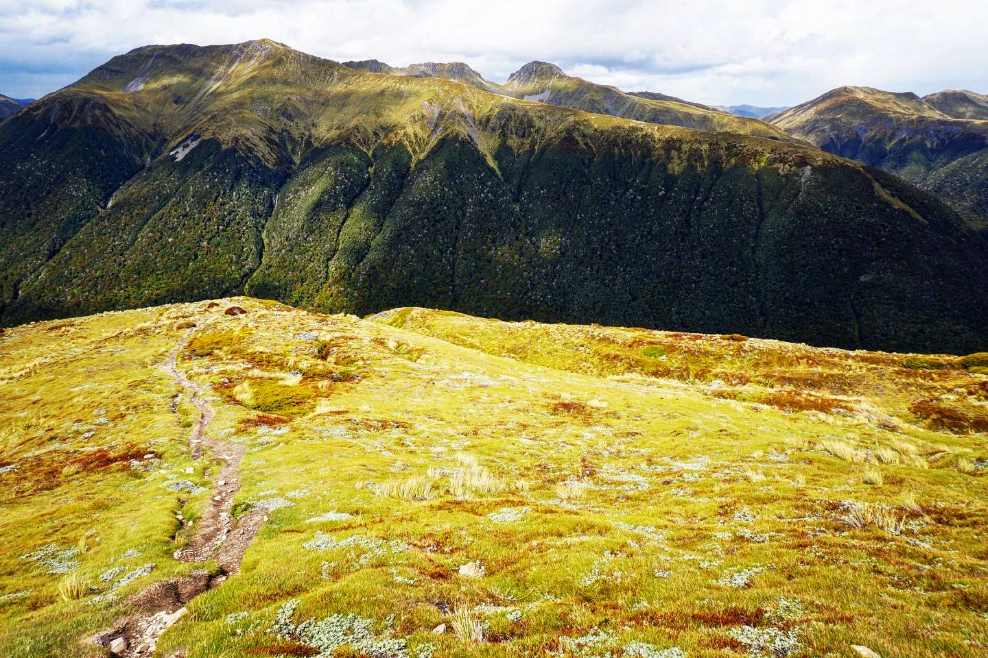
After about an hour and a half the bush line ends, and the big views begin.


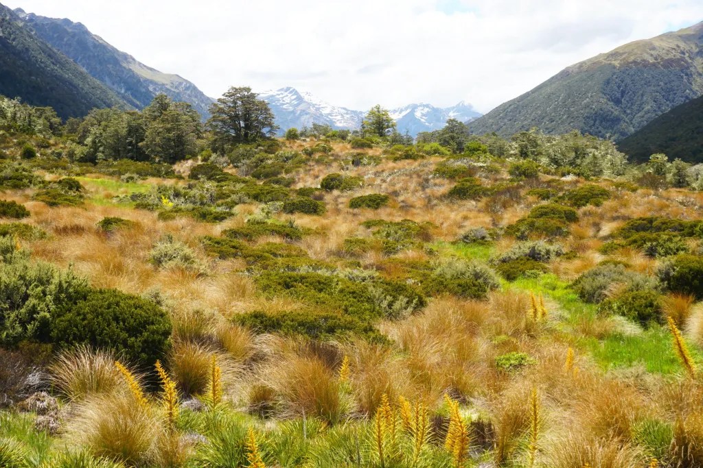
There were snow coated mountains in the distance, and quite a variety of landscapes within one view.


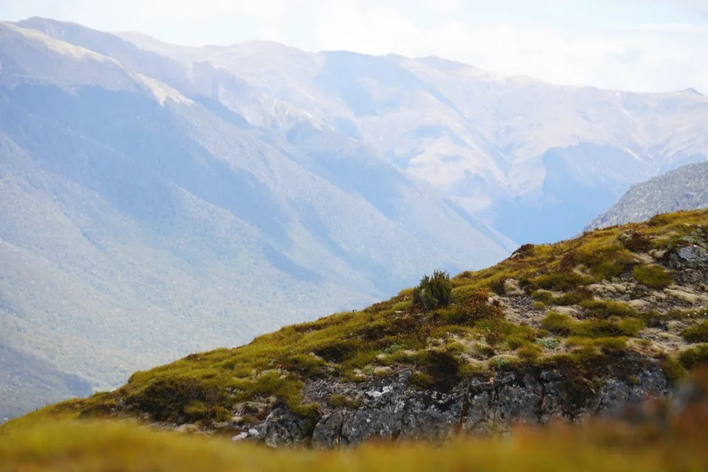

I continued further up the hillside for slightly bigger views, and ones that kept changing with the weather. It was pretty windy up there, but sunny / cloudy days are often the best for photography.


The marker poles continue onto the tops, where a couple of groups met were camping out, but I turned to face the views and returned back down the hillside.


Returning through the varied bush back to my car and onto the next adventure in Hanmer Springs.


Leave a Reply