A very long and exhausting day, walking literally from dawn to dusk (though with an hour and a half lunch break) nearly 29km, with few flat parts. I’d originally planned to walk Section 9 in two days but there is no water along the whole section, and I didn’t want to risk it over overnight, even with carrying six litres (which made for a particularly heavy pack in the morning). Thankfully along the way there were some rather impressive views.

The day started easy enough leaving Ormiston Gorge shortly after 7am as it started to get light. Despite the heavy pack (had also collected four days worth of food from the food drop locker) the track was flat and I got to walk in shade till 9am, with the sun struggling to rise over the hill to my left. It was also noticeably cooler today, mid to high twenties versus around 30C for the previous few days. Still hot for walking distance but made it a little more manageable.

When the sun did appear it bathed the landscape (including this nice example of one of the many spinifex) in beautiful yellow light.


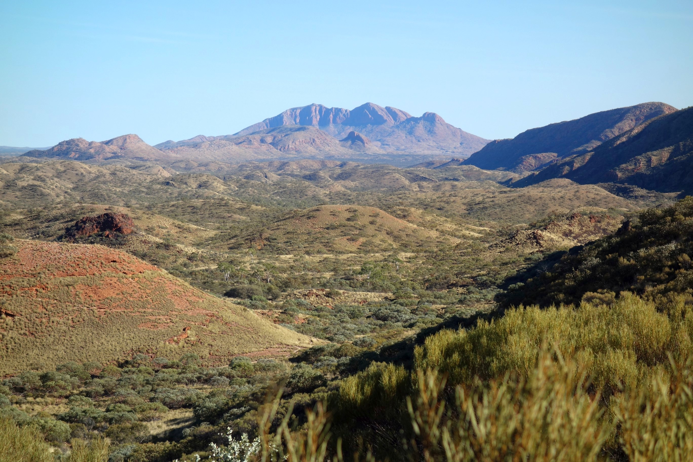
As the track started to steadily ascent views of the ever present Mt Sonder were behind me as ever, a major downside of walking west to east (also it being harder and signage is poorer in this direction).

Reaching the ridge line was worth the effort for some of the best views on the track, hard to capture in photographs the sense of scale and distance.


Part way along I came across half a dozen tents belonging to people who had spent ten days working on the track, particularly the descent from the ridge line (walking west to east), before they were to be helicoptered off the top that afternoon.
At the peak of the ridge line I found a nice shady spot to have a well earned break and enjoy my lunch and the views. There was also mobile signal, denoted by this helpful sign, allowing me to book an extra night in Alice Springs as completing the section in a day put me a day ahead of my original 13 day plan.


I could have happily stayed up here longer, apparently it is a popular place to camp part way along, and would certainly be better than the designated spot at Waterfall Gorge. This was reached down a tight switchback track and along a riverbed filled with colour.

From Waterfall Gorge (which only has a small waterfall if it’s been raining, not that common here) the track headed up and down a number of valleys, beautifully lit by the afternoon sun.


After 25km of hard walking Inarlanga Pass wasn’t particularly inviting, involving some minor bouldering on sore legs and a tired head.


The final 2.5km to Serpentine Chalet Dam were the longest 2.5km of the day (and possibly of the whole Larapinta Trail), as the track headed up and down before I finally arriving at the shelter and campsite by 6pm as it was getting dark. This was only the second day I’ve had walking where I’ve finished with shivers of exhaustion (Nelson Lakes out to Blue Lake Hut was the other). Dinner and early to bed was the welcome solution.


Leave a Reply