The Walker’s Haute Route is a ~200km, 9-14 day walk between Chamonix in France and Zermatt In Switzerland, from Mont Blanc to the Matterhorn. Along the way it passes by the greatest concentration of >4,000m mountains in the Alps. I walked it in July, early in the season, and found it more than the equal of it’s more famous cousin, the Tour du Mont Blanc.
The original Haute Route is a winter cross country ski adventure, the Walker’s Haute Route is the summer hiking version that follows a similar route, avoiding highly technical sections such as glacier crossings.
It was a rather grey start walking through Chamonix, by far the largest town in the Chamonix valley. About ten thousand people live all year round in the valley, but 90% of the houses are holiday homes.


Chamonix is the walking capital of the world, with hundreds of thousands of people visiting every year to explore the network of tracks in the surrounding area. It’s twice as busy in the summer than the winter, with hiking a greater lure than skiing. Tens of thousands of people come just to climb Mont Blanc, or to participate in / watch the famous ultramarathon that takes place every September.


I explored Chamonix last year when I walked the Tour du Mont Blanc, so I just passed though on my way to Les Praz de Chamonix up the road. Here there was little to explore other than an attractive church, and a couple of pieces of Swiss tourism.


After the golf course was a pleasant spot with some quirky features.


The track to Argentiere was pretty unexciting, passing through the woods along by a small river, then a railway line. This is the end of stage 1 of the Haute Route, there are 14 in total. People generally walk one stage a day though for the challenge I walked two stages most days. The town was rather pleasant, helped by the sun finally breaking through the clouds. The church was quite colourful and impressive inside.


Soon after I passed by one of only two pieces of street art I saw in my whole time on the Haute Route.

Things started to get more scenic as I approached the village of Le Tour, home to a popular ski lift. As ever I chose to walk up the increasingly steep hillside, savouring the views back down the valley toward Mont Blanc in the distance.


Charamillon is one of the stops on the cable car, a popular way to transport mountain bikes up, thankfully they use dedicated tracks to get back down. From here I took a detour to the right, adding at least another 40 minutes onto my day, but offering even more spectacular views.


I was glad however to reach the 2,204m high Col de Balme, not so much for the views, but for a much needed lunch at the Chalet-Refuge Col de Balme which straddles the French / Swiss border here.


I walked from Col de Balme down to Chamonix when walking the Tour du Mont Blanc last year, but there are so many different tracks that I repeated almost none of them on my way up from Chamonix to Col de Balme as part of the Haute Route.

There were three options to get from Col de Balme to Le Peuty where I was spending the night. One I did last year on the Tour du Mont Blanc, one was the shortest and easiest, and one was the longest and hardest. Of course I took the later…
Which was totally worth the extra effort for the best views of the day, with the remaining snow adding wonderful variety to the landscape.


From the main track I took a couple of detours, which combined added hundreds of metres of extra ascent and descent, but were the highlights of the day.


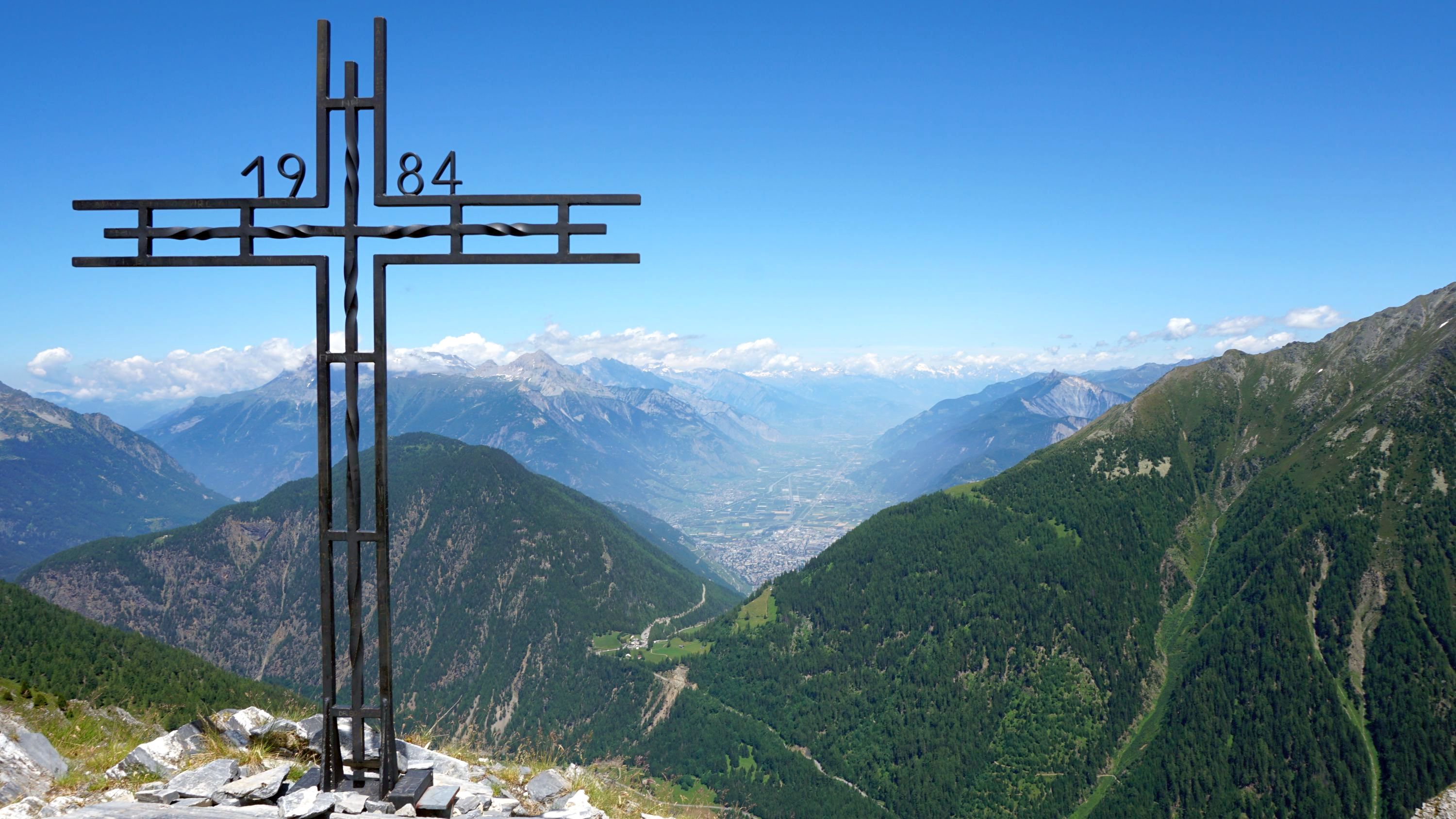
First I headed up the 2,330m high L’Arolette, marked with a wooden cross, and offering 360 degree panoramic views.


Which were somehow topped by the views from the 2,343m high Croix de Fer, marked with an impressive metal cross. This had great views of the Trient Glacier. I’d passed this by last year crossing the 2,665m pass at Fenêtre d’Arpette which lies to the left of the glacier.


From both and along the track I could see a quite spectacular dammed lake high up the mountain side.


From here it was basically downhill, increasingly steeply which was a challenge for the feet and knees, though I had hiking poles which help hugely. The descent was mostly through woods, though occasionally it would open up to offer great views of Trient Glacier.

The first building out of the woods was the wonderful Refuge Le Peuty, one of the best refuges I’ve stayed in. It was one of the smaller ones, with space for only 22 people, and had great atmosphere. It was clear that a lot of thought and care had been taken throughout, with welcome small touches. The garden was a lovely spot to take in the sunshine and views of the glacier.


The food was incredible, even by the usually very high bar of refuges. Served in quirky yurts we had gazpacho soup, salad, sausage and vegetables, and mouse for dinner. Breakfast was as good with home made Bircher muesli, cheese and bread.


It had a been a long start to the Haute Route, covering two stages and by taking numerous detours I ended up walking ~27km, ~2,100m uphill and ~1,900m downhill. I slept well that night…


Leave a Reply