One of the more spectacular coastal walks in Wellington, Makara Walkway is a ~7km loop offering plenty of variety in half a day of walking. Getting there is part of the experience, heading over the hills from Karori or along Takarau Gorge from Johnsonville to arrive at the rugged Makara Beach. I’ve been there half a dozen times, and it’s usually pretty wind swept and gloomy. Most of these photos though were from a glorious winter’s day with relatively little wind and blue skies.


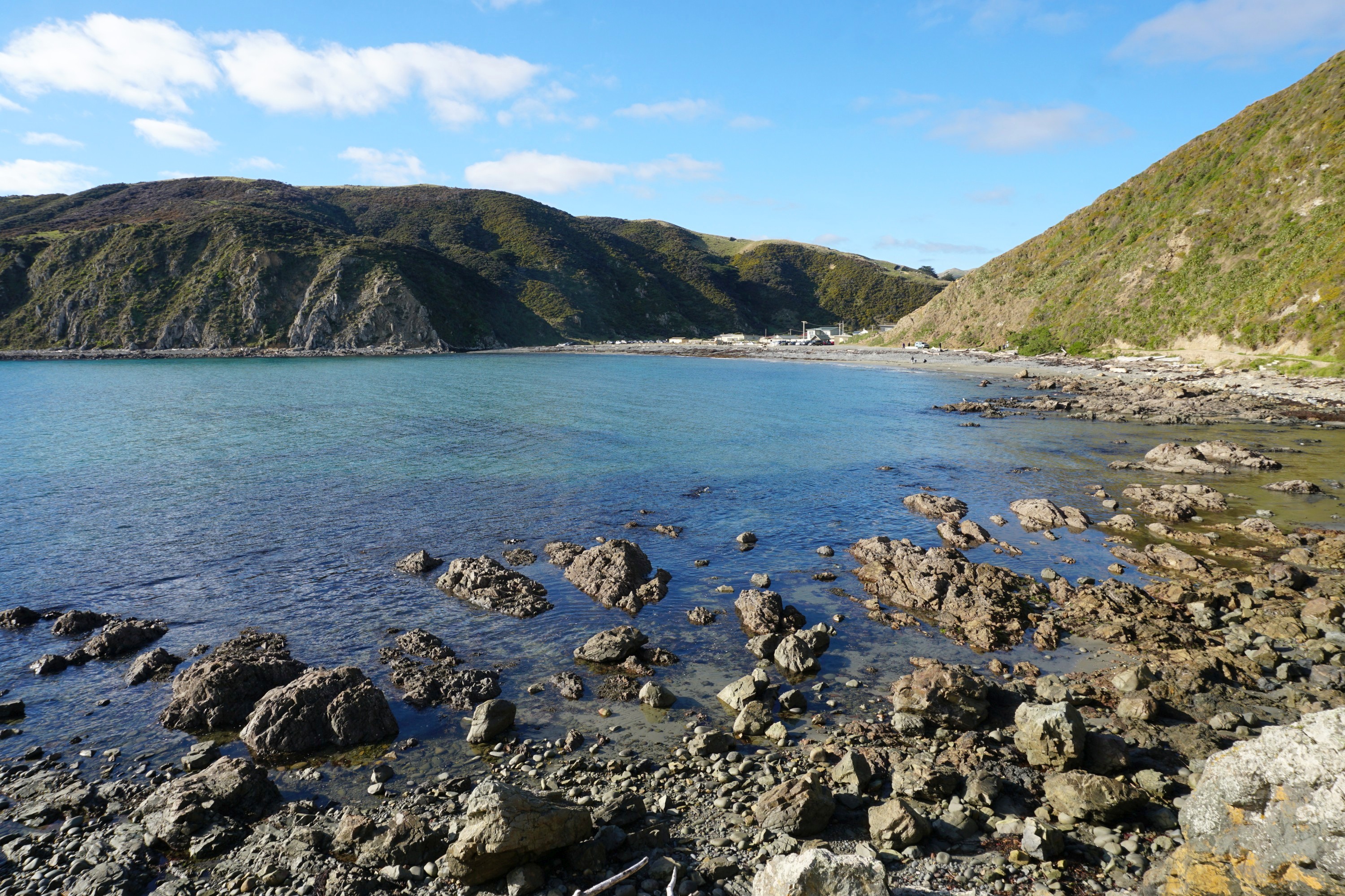
From the car park the track heads along the beach and round the bay, with an occasional relic of the past.


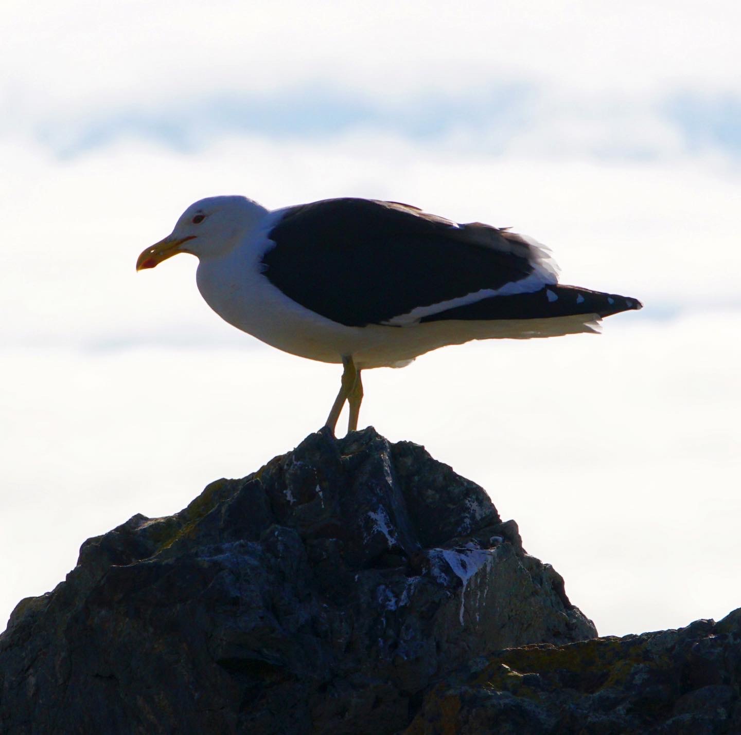
There is usually a fair amount of bird life around.


Though this dead goat was unexpected…

As were these colourful mushrooms…

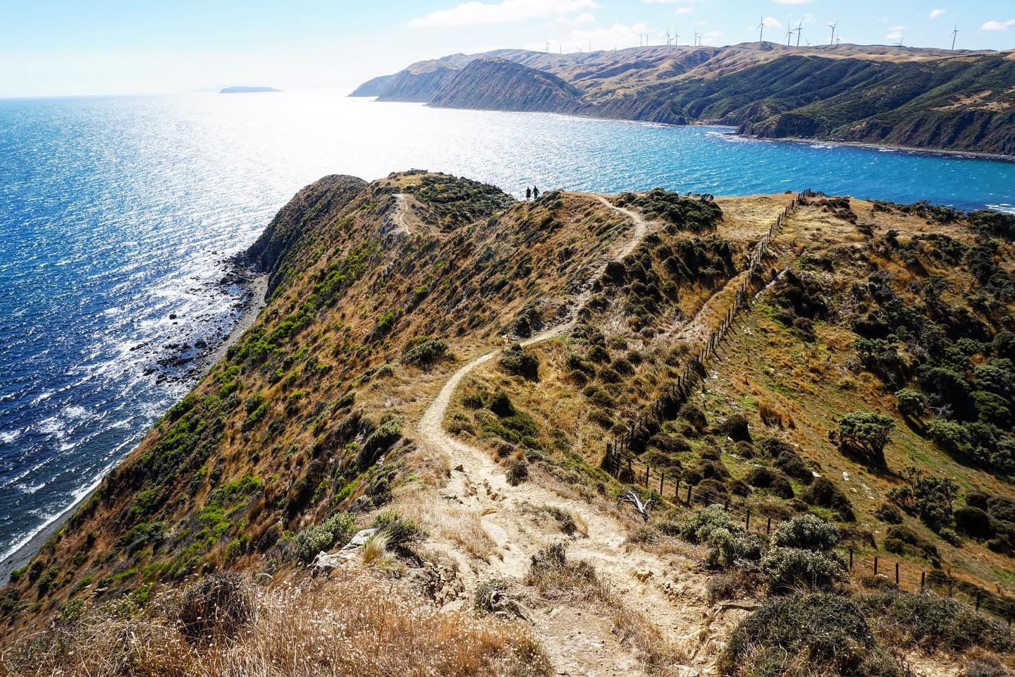
I generally get the hill out of the way at the start, with an at times steep and slippery climb up to the top of the cliffs.


Some of the best views from the track are at the top.


Across the Cook Strait the Marlborough Sounds at the top of the South Island can be seen, looking particularly atmospheric on this day.


North along the coast are Mana Island and Kapiti Island.

The WW2 era Fort Opau is at the highest point of the track, 200m above sea level, and a good place for a rest. Note that this part of the track is closed for lambing season between August and September.


Looking south west the mighty turbines of the West Wind Farm are a feature of the landscape.

From here the track heads inland, offering a quite different landscape to the coast.


At the end of a steep farm road is Opau Stream and a huge pile of driftwood.


The track then returns along by the beach, which though flat, is slow going walking on pebbles. Some clambering over and around rocks is required at times before arriving back at the start.


Leave a Reply