There were huge contrasts in 48 hours hiking down from 4,580m to 2,080m above sea level between Ramche and Yamphudin. There was some uphill though so over two days we steeply descended nearly 2,300m, tough on the feet and knees.
Ramche was a stunning spot, with some of the best night skies and stars I’ve seen, but it was -10C overnight in the tent… Thankfully the sun soon hit camp, a rarity on the Kanchenjunga Circuit.


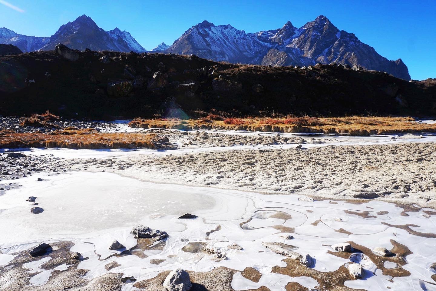
In the morning we retraced our steps from the previous day, returning to Tseram by mid morning. This sort of scenery is some of my favourite when hiking, particularly when it includes autumnal colour.


The track continued to descend, with over 1,500m of descent today and even more tomorrow.


This shrine under a large boulder was worth a short detour to explore.


We had lunch just past what looked like a Cak, a cow / yak cross bred.

There were plenty more similar animals further along the trail. The trail from the southern Kanchenjunga base camp is far less populated and developed than the one we went up to the northern Kanchenjunga base camp.


We followed the Simbuwa River down to Tortong.


There wasn’t much here other than a guesthouse, which even at 3,000m felt positively balmy compared with Ramche, though it soon cooled overnight.

The next day invoked a cold start, taking time to discard multiple layers, despite the track heading relentlessly uphill all morning, around 800m in total.


After a couple of hours the track finally opened up to views of the south west face of Kanchenjunga, the third highest mountain in the world.

There were some huge land slips which the track skirted close to at times.


In the distance was the distinctive Jannu, which though ~800m shorter than Kanchenjunga, is the far more appealing looking peak.

There was a stunning layering effect to the hills in the distance.

After the morning’s efforts we reached probably the most spectacular lunch spot of the three week hike, with huge panoramic views and plenty of sunshine.

There was ~1,800m to descend in a couple of hours, with manageably steep but seemingly never ending switchbacks.

There were plenty of cows chilling out by the track.


The big descent ended with this river crossing. Back in 2019 the suspension bridge was the only option, and though it wasn’t in as bad a condition as it is now, it was still apparently a terrifying experience to cross.

The replacement bridge unfortunately appears to have been damaged by rockfall, and was in a rather alarming state. There wasn’t really another option for crossing the river though, and presumably it has taken the weight of yak without issue.


The last rays of sun light hit the hills as we arrived at a nice guesthouse in Yamphudin just before 5pm. It had been one of the longest days of the hike, no altitude but plenty of steep climbs and descents, and after nearly two and half weeks of hiking everyday everyone was pretty exhausted.


Thankfully the next day was a rest day. This wasn’t in the trip itinerary but was very welcome. The time was found by replacing the last couple of days walking with a half day jeep drive. Since the trip last ran in 2019 more of the trail had been converted to road, a very common experience in the Himalayas.

It was a joy to wake and not have to pack everything up and head back onto the track. Yamphudin was a warm, sunny spot to rest up. I had my first shower in two and half weeks, though as it was freezing cold, it was a short one… Oddly it was more exhausting having a rest day, with all the effort and illness of the trip catching up with me.
My only walking of the day was to go for an explore of the village of Yamphudin, home to a mixed community of Sherpas, Rais, Limbus and Gurungs. There were a couple more guesthouses.


There was a stupa and closed temple, with a memorial to two Hungarian climbers who died attempting to climb Kanchenjunga in 2013. Kanchenjunga is one of the deadliest mountains in the world, with 20-30% of climbers dying in the attempt to summit. It’s apparently more deadly for women and getting more deadly over time..


To finish with a few more photos of the village.


Leave a Reply