I’ve hiked further in a year, but I’ve probably never hiked as hard as this year, with almost all of it in the hot and humid climate of Timor-Leste, which can be as physically challenging (and certainly sweatier!) than hiking at high altitude. Rather than my usual chronological approach I’ve themed the hiking by location and type. Usually I would reflect on my cycling trips as well but since leaving Wellington, New Zealand in February I’ve not sat on a bicycle! A few brave people do cycle in Timor-Leste, but a motorbike is much more suitable to getting around. The map below shows all the hikes I’ve done in Timor-Leste.
Multi-day hikes
With almost no hiking or tourism infrastructure it isn’t easy to do multi-day hikes in Timor-Leste. My first one was a 5 day circuit of Atauro Island, which was memorable, but more for the challenges. I walked it during a particularly wet part of the wet season, the homestays were some of the most basic I’ve ever stayed in, and I returned to Dili with Chikungunya and a bad entamoeba infection!


Somehow I kept going with the multi-day hikes, but in the good company of Eco Discovery, the only Timorese owned and operated company that run big hiking trips. They had been the local partner for international hiking operators but post Covid they have been running their own trips. Hiking with and supporting them has been a highlight of my year in Timor-Leste.

At the end of June my partner and I, supported by a great team from Eco Discovery, were one of less than 50 people to hike Coast2Coast, an 8 day epic crossing the country on foot from the north to south coast. It was one of the hardest but most rewarding hikes I’ve done, visiting remote communities, and enjoying spectacular and varied scenery.


I took plenty of photos and videos of the hike, which I used to help promote Eco Discovery, and Timor-Leste as a hiking destination. This lead to me supporting Eco Discovery in my spare time, in addition to my volunteering at local NGO HAMNASA and the Ministry of Tourism. I rebuilt Eco Discovery’s website, updated their itineraries, promoted them online, and wrote an article on hiking in Timor-Leste for the Australian hiking magazine Great Walks. They kindly invited me on three multi-day reconnaissance hikes, to help develop new itineraries.

The first was between Mt Saboria and Mindelo through Ainaro and Manufahi, a tough but spectacular hike through some very remote areas.


The second between Tapo and Atsabe included two natural hot springs and the highest waterfall in the country, and incredible landscapes in Bobonaro and Ermera.


I was grateful to fit one more in right at the end of the dry season, Turiskai to Laclubar through Manufahi and Manatuto, another memorable adventure.


Day walks with Dili Saturdays Walkers Facebook group
Before coming to Timor-Leste I had little idea what hiking would be possible, there was almost no information online. Somehow I came across the Dili Saturdays Walkers Facebook group which was a game changer. Almost every Saturday for over a decade groups of between 10 and 40 people meet at 7am and go for a hike in or near Dili. This was the ideal way to both understand how and where to hike in Dili, and to meet some fabulous people.

I went to fewer walks than I would have liked to as I spent much of the dry season on trips outside Dili, but have been active behind the scenes building up a comprehensive set of information on the hikes they do. I ended up leading a large number of walks, including 11 new ones that I developed for the group.
Dili day walks
Through Dili Saturday Walkers and Wikiloc I found plenty of routes to explore around Dili. There are so many that it is rare for me to repeat one. The main challenge hiking here is the climate, being hot as soon as the sun rises around 7am. If you miss this small window of opportunity it isn’t really sensible to go later in the day.


As well as following known routes I’ve developed over a dozen of my own. My confidence in hiking here has improved hugely, as demonstrated by this video of a hike I did shortly after arriving in Dili.
I was terrified of the dogs, heat stroke, and getting lost. Now I’m quite comfortable venturing off into the bush solo. There are so many trails but almost none marked on maps so I use Google Earth to find paths to follow. In general most ridge lines have paths, is just a question of finding out how to get onto them.


Atauro Island day hikes
Despite my rough introduction to the island (which I also got stuck on with ferries cancelled due to the bad weather) I’ve returned 8 subsequent times, and done a dozen decent day walks covering most of the trails on the island. There tends to be quite a lot of road walking and lack of shade, but the varied views and island atmosphere make up for this.


Hikes outside of Dili and Atauro Island
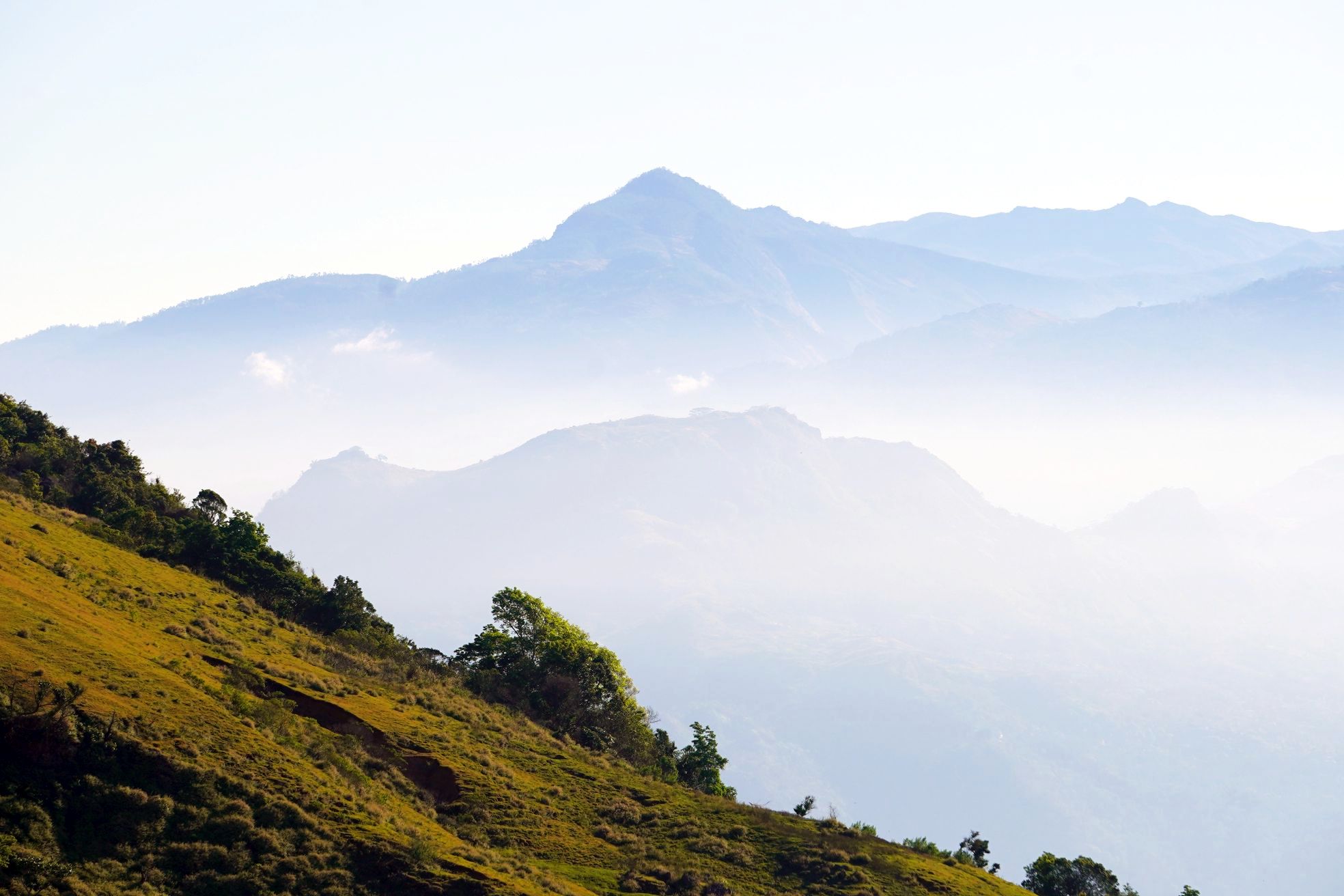
I also did a number of day hikes, mainly up summits, which despite being over 2,000m above sea level were still hot work! Matebian was the toughest but most rewarding.


Leave a Reply