The final day of a tough but magical 2 & 1/2 day hike, which included two natural hot springs, the highest waterfall in the country, remote villages, mountain tops, and spectacular scenery throughout. As with all my multi-day hikes in Timor-Leste, this wouldn’t have been possible without excellent support from the team at Eco Discovery.
A little surprisingly the market building in Atsabe has some of the best views in Ermera, hugely panoramic and atmospheric as the sun rose.


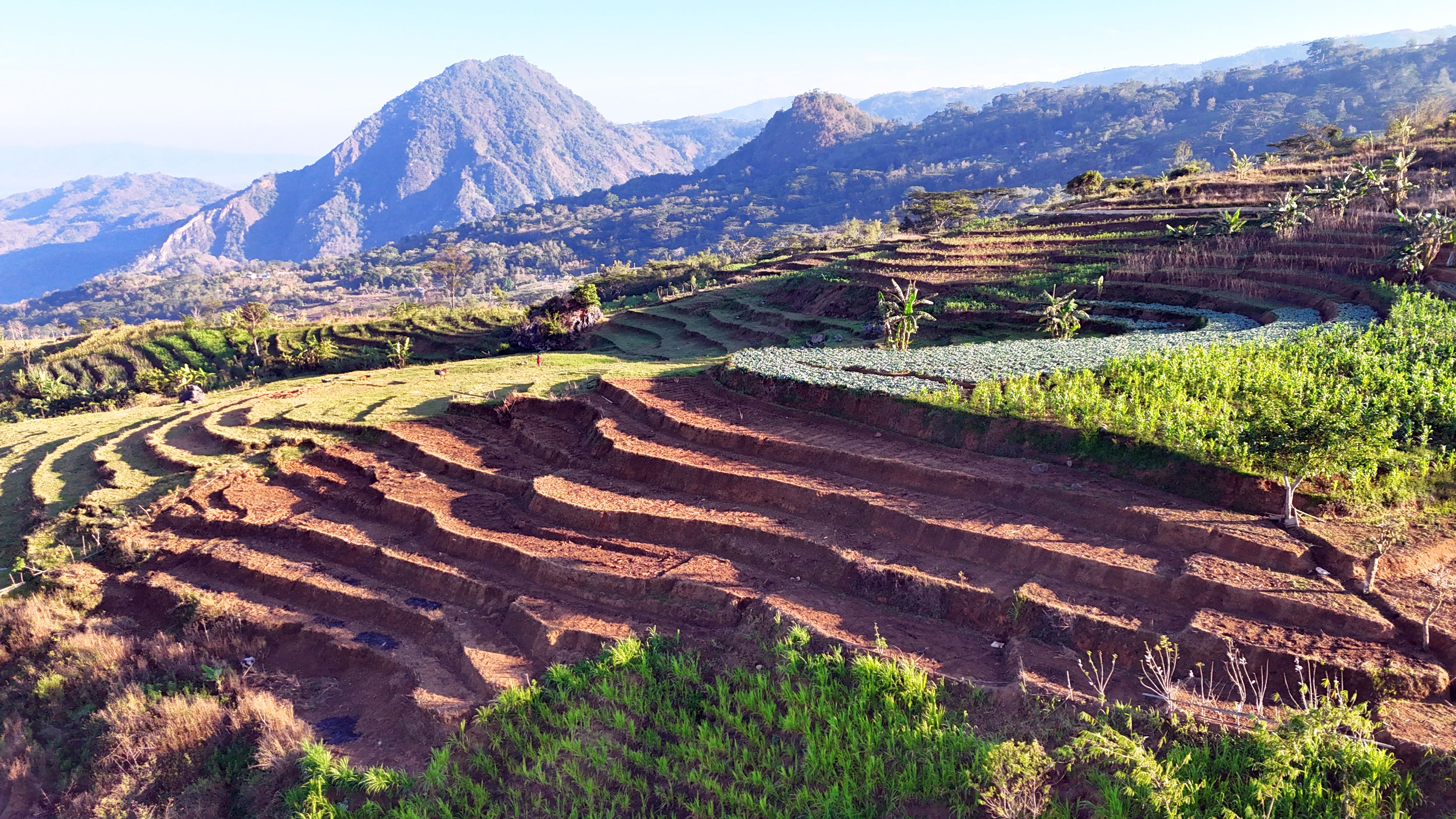
Before setting off I flew my drone around the area.


It was a longer and steeper than expected road walk to the centre of Atsabe, but there was plenty to see along the way.


The most prominent location in the village is home to two churches (presumably the original, and the new one), as well as the sizeable home of the local priest.


It was then downhill, initially on the main road, passing a few buildings of interest.


And enjoying some huge views down the valley.


Before heading off the road on a path to the base of Bandeira waterfall, which at 200m, is the highest in the country. Even at the end of the dry season there was a reasonable flow.


My drone gave a different perspective.

Best captured in this TikTok video I made.
We took a shortcut through terraced fields to return to the main road in Ermera.


That was it for the hiking, with a bumpy 5 hour drive back to Dili in store.


To break up the journey we stopped in Letefoho, the next major village in Ermera, and the only place to rival Atsabe for mountain views. The village is on top of a ridgeline, with a spectacularly located church, which has an unusual clasped hands spire.


Mt Ramelau, the highest point in Timor-Leste, could clearly be seen in the distance.

Further up the ridgeline is Statua Cristu Liu Ray Letefoho, which may be shorter than the better known Cristo Rei in Dili, but has a more impressive location.


Leave a Reply